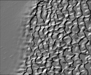
New Data Including Hawaii Big Island, Salton Sea, and the Columbia River Basin Available
We are pleased to announce the release of seven new lidar point cloud datasets covering areas in California, Colorado, Hawaii, Idaho, Michigan, Washington State, and British Columbia. These data cover a diverse array of geographic areas and feature high-resolution topography for active volcanic regions, fluvial systems, and tectonically active areas.


