Curriculum for Educators
For educators, OpenTopography provides curriculum modules that include lesson outlines, sample datasets, and activities to integrate topographic data into the classroom.
Have you used these resources? Share your feedback here.
High Resolution Topography in the Classroom
Lab Exercise: Using lidar to track Lake Michigan bluff retreat and inform local communities
In this exercise for community college and introductory-level courses, students use multi-temporal lidar to explore dynamic coastal erosion along a portion of the Lake Michigan shoreline over a decade-long timespan. They examine the interplay between the hydrosphere and the Earth’s surface in the Great Lakes region and consider how bluff erosion impacts local communities.
Indiana White River Meanders Mapping Exercise
In this exercise for undergraduates, students use hillshade images derived from airborne lidar from a section of the White River in Indiana to map how the river has changed over the span of five years. Students learn to identify and describe how river meanders and oxbow lakes evolve. They also evaluate the longer-term evolution of the river's form and assess how local infrastructure may be impacted.
Topographic differencing: Earthquake along the Wasatch fault
Undergraduate-oriented exercise where students pretend that they are geologists working for the United States Geological Survey (USGS) and must respond to a recent earthquake along the Wasatch Fault. They aid in the response by mapping the surface rupture and calculating the surface displacement, coseismic slip, and earthquake magnitude from high resolution lidar topographic imagery acquired before and after the earthquake.
A Structural Geology Exercise for Remotely Examining Folds at Painted Canyon Near the San Andreas Fault
In this activity designed for a structural geology class, students use CloudCompare to make orientation measurements of a fold near the San Andreas Fault.
OpenLandform Catalog
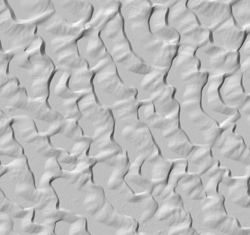
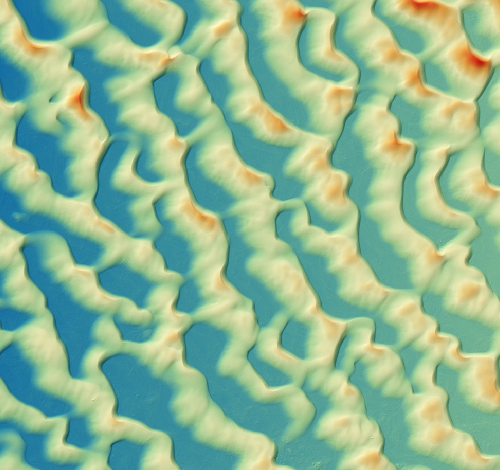
The OpenTopography OpenLandform Catalog serves as a resource to explore geologic landforms in high resolution topography for teachers, students, or any interested user. The catalog includes a list of geologic landforms sourced from data hosted by OpenTopography separated into categories based on formative processes, along with a brief description of the landform, a link to the dataset page, and pre-generated data products.
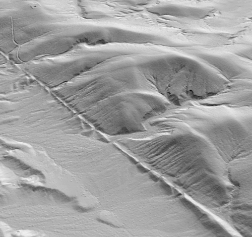
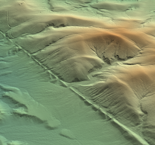
(left to right) White Sands New Mexico hillsahde image, DEM image, and Garlock Fault hillshade image, DEM image.
Geologic Mapping with High Resolution Topography in ArcGIS Pro
This suite of video tutorials demonstrates how to use ArcGIS Pro software and high resolution topography to construct geologic maps from start to finish. An example dataset is provided, so viewers can follow along step-by-step.
Jupyter Notebooks
OpenTopography has several Jupyter Notebooks available that use OpenTopography data and processing resources, and are excellent for integration in classroom settings. Current notebooks include an overview of the Rayshader Library to produce 2D and 3D data visualizations and maps, subsampling lidar point clouds for STL output, and programmatic access to Cloud Optimized GeoTIFF (COG) global datasets.
Community Resources
This table features additional resources for applying lidar data to teach Earth science. Resources were sourced from OpenTopography short courses as well as the Earth science education community. If you have a lab or exercise associated with lidar or OpenTopography, please email us at info@opentopography.org if you'd like it included in this list.
| Geology of Yosemite Valley Developed by Dr. Nicolas Barth, part of SERC's Teaching with Online Field Experiences Exemplary Collection |
|
High school - undergraduate (different parts for high school through upper-division undergraduate) |
| Identifying faulting styles, rates and histories through analysis of geomorphic characteristics (Lidar) Part of GETSI module on Imaging Active Tectonics with InSAR and Lidar |
|
Upper-level undergraduate |
| Analyzing High Resolution Topography with TLS and SfM Part of the GETSI Field Collection |
|
Upper-level undergraduate |
| Recognizing and mapping faults using lidar and field data Developed by Dr. Anne Egger, part of SERC's On the Cutting Edge Exemplary Teaching Collection |
|
Undergraduate |
| Wallace Creek Field Trip Student Guide From OpenTopography Short Course |
|
Undergraduate |
| Extracting Information from DEMs in ArcMap From OpenTopography Short Course |
|
Undergraduate |
Related Resources from SERC
| Title & Link | ||
|---|---|---|
| How do I use GIS in Introductory Geoscience? |
|
SERC |
| Investigating Earthquakes: GIS Mapping and Analysis |
|
SERC |
| Teaching with Google Earth |
|
SERC |