-
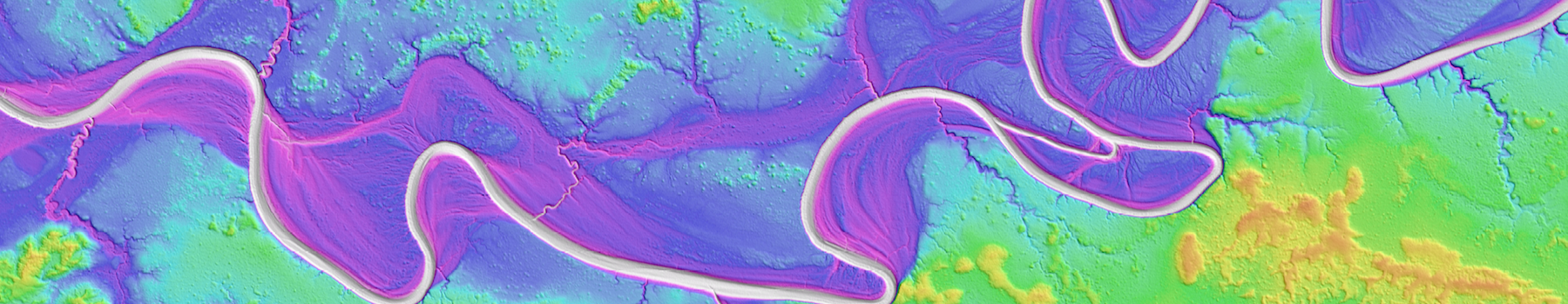
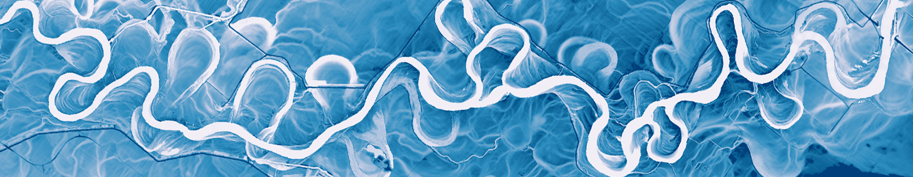 Relative elevation model of the White River, Indiana
 -
 Profile through Auckland, NZ lidar point cloud data. Sky Tower at center left.
 -
 1 meter hillshade image of Yaquina Head, Oregon lidar
 -
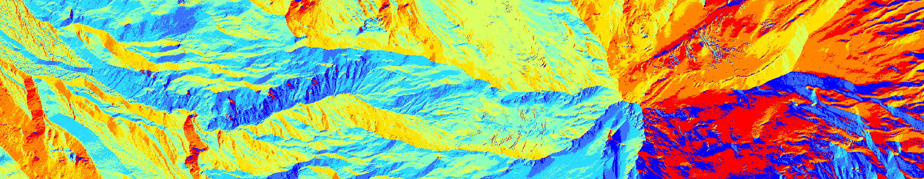 D8 flow direction map from 30m SRTM data, Mt. Hood, Oregon
 -
 3D visualization of lidar point cloud data of the Flatirons, Boulder, Colorado
 -
 Black Rock Desert Wilderness, Nevada
Home
Latest News
Jul 13, 2026
New datasets were added in June 2026 spanning the US mainland, Alaska, and two continental to global-scale digital terrain models (DTMs). ANADEM is a machine learning-derived DTM covering all of South America, while GEDTM is a near-global-scale DTM...
Jul 2, 2026
OpenTopography is pleased to announce the availability of two new continental to global-scale digital terrain models (DTMs): ANADEM, covering South America, and the Global Ensemble Digital Terrain Model (GEDTM),...
Jun 15, 2026
For the past decade OpenTopography has offered on-demand tools for hydrologic processing of topography. These tools enable hydrologically conditioning of DEMs, calculation of contributing area and flow paths, and topographic wetness index....
Latest Blog Posts
Jan 23, 2026
Primary support for OpenTopography comes from the Division of Earth Sciences at the U.S. National Science Foundation, and thus, our principal emphasis is on facilitating access to topographic data oriented towards Earth science research and education. In the context of academic research, publications are a crucial...
Nov 24, 2025
OpenTopography hosts hundreds of high-resolution point cloud datasets covering more than 500,000 km² globally. While our web-based data portal provides intuitive point-and-click access to these data, researchers increasingly need programmatic methods to build automated, reproducible workflows. We're excited to share a new...