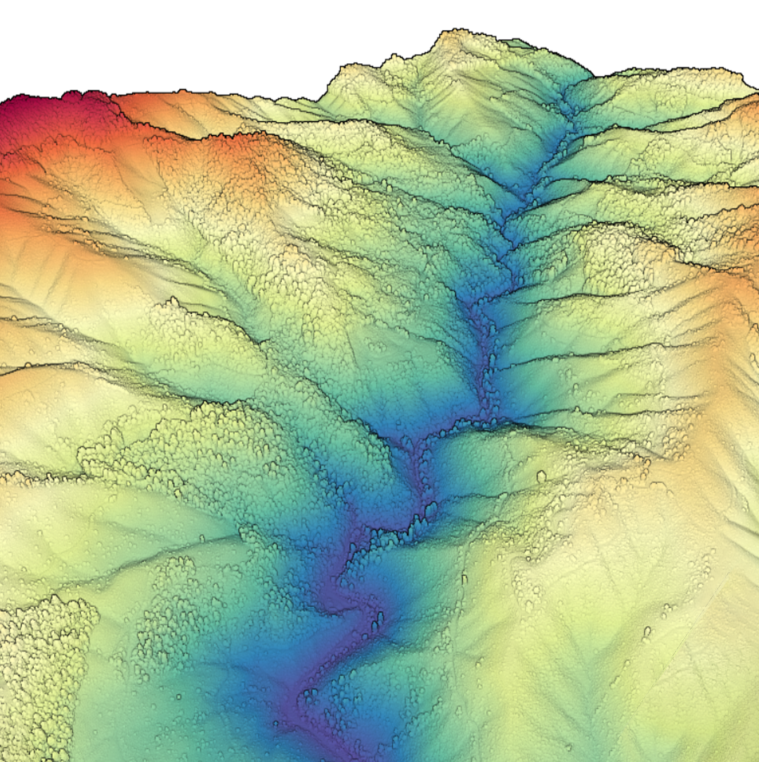
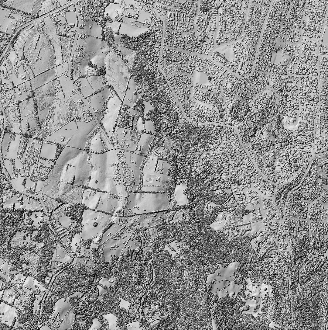
| OpenTopography Plus (OT+) is a subscription service that enables one-stop, easy-to-use access to the highest quality lidar topography for the US. High resolution topographic data from authoritative sources such as the U.S. Geological Survey and NOAA are accessible without the need for specialized software or local compute resources, saving you valuable time and money. |
For users who wish to integrate the OT API into commercial software or who need higher processing limits, we offer Enterprise API keys. To request additional information and Enterprise Key pricing please email info@opentopography.org. |


