-
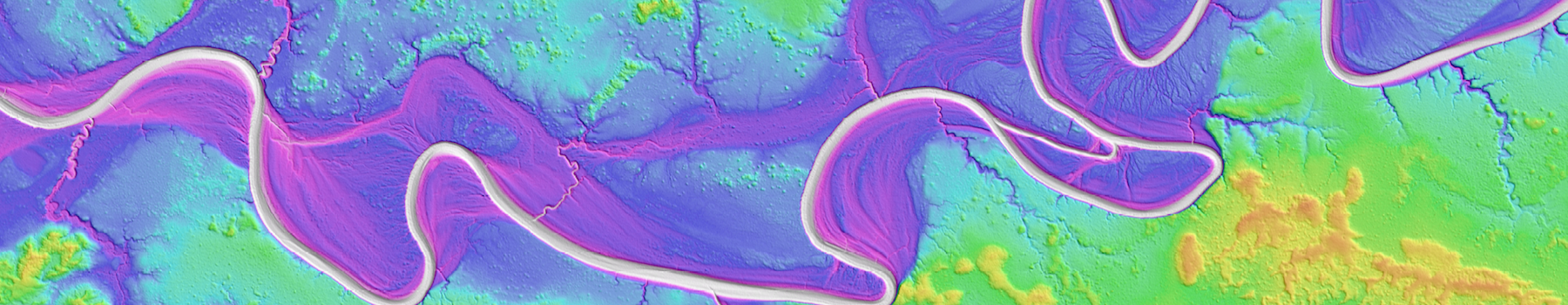
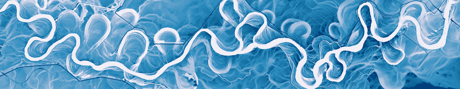 Relative elevation model of the White River, Indiana
 -
 Profile through Auckland, NZ lidar point cloud data. Sky Tower at center left.
 -
 1 meter hillshade image of Yaquina Head, Oregon lidar
 -
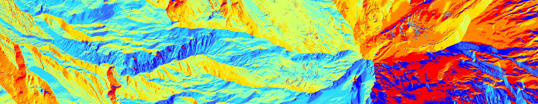 D8 flow direction map from 30m SRTM data, Mt. Hood, Oregon
 -
 3D visualization of lidar point cloud data of the Flatirons, Boulder, Colorado
 -
 Black Rock Desert Wilderness, Nevada
Home
Latest News
May 29, 2025
OpenTopography provides easy, centralized access to a diverse collection of topographic data. We strive to simplify data discovery by providing a single, accessible platform that integrates data from academic, private, and federal sources, including...
May 16, 2025
Lidar systems produce a high density 'point cloud' - a collection of precise three-dimensional coordinates - that offers a detailed digital representation of scanned surfaces and their features. To unlock the full potential of this data for analysis...
Apr 29, 2025
OpenTopography provides easy, centralized access to a diverse collection of topographic data. We strive to simplify data discovery by providing a single, accessible platform that integrates data from academic, private, and federal sources, including...
Latest Blog Posts
Apr 24, 2025
By Hayley Bricker
Utility companies, responsible for providing power, water, and telecommunications services, rely on precise, high-resolution 3D elevation data of the Earth’s surface to plan projects, maintain infrastructure, and mitigate natural hazards. Light ranging and detection, or lidar, provides a powerful...
Feb 10, 2025
By Cassandra Brigham, Chelsea Scott, Christopher Crosby
On January 7th, 2025, the Palisades and Eaton fires ignited in Los Angeles County, causing destruction over a combined area of 60 square miles at the wildland-urban interface. The fires killed at least 29 people and destroyed over 16,000 homes and other buildings....