Explore OpenTopography Tools
OpenTopography offers these on-demand processing tools for hosted datasets:
 |
Point Cloud Selection & Filtering: Crop point clouds to your area of interest, choose pre-classified classifications, and download the point cloud as a las, laz, or ascii file. |
 |
Raster Selection: Crop a digital elevation model (DEM) to your area of interest and export as a geotiff, IMG, or ascii file. |
 |
Digital Elevation Models: Customize a DEM generation using the popular TIN or a local gridding method (i.e., mean elevation) to create a raster grid from a point cloud topography dataset. |
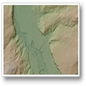 |
Topographic Hillshades: Generate topographic hillshades at the preferred illumination angle with options to add color relief and produce a Google Earth KMZ. |
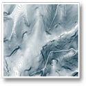 |
Contour Lines: Creates contour vectors taking the original TIN generated DEM and smoothing depending on user-input to blur or soften grid data to remove high-frequency noise. |
 |
3D Point Cloud Visualization: Visualize color, intensity or classification of a point cloud on your internet browser. Create height profiles and make measurements. |
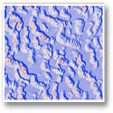 |
Vertical Differencing: Measure landscape change by differencing DEMs to see topographic change from processes including urban growth, flooding, landslides, wildfires, and earthquakes. |
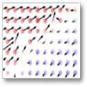 |
3D Differencing: Detect horizontal and vertical change when the landscape shifts during earthquakes and landslides. |
 |
Hydrology Tools: Analyze the hydrology with TauDEM (Terrain analysis using DEMs) by creating hydrologically conditioned DEMs and calculating flow paths, among other tools. |
 |
Canopy Height Model or Normalized DSM: Calculate the height of trees and other structures above ground for forestry applications. |
