New contour line generation tool now available
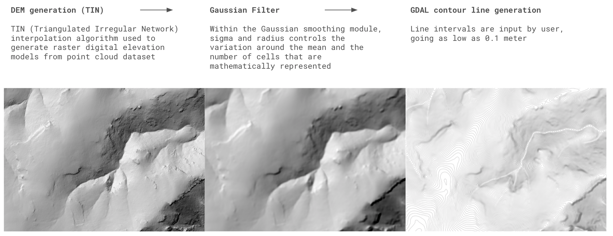
OpenTopography is excited to introduce our latest on-demand processing tool which allows users to create custom contour line vector files from lidar point clouds or raster products. Contours can be output in shapefile, DXF, or Geopackage formats. This tool can be applied to most datasets available from OpenTopography including high-resolution lidar point cloud and raster datasets as well as USGS 3DEP point clouds. The tool first generates a DEM using the TIN (Triangulated Irregular Network) interpolation algorithm. To minimize noise, this raster is then smoothed depending on user-controlled inputs (sigma and kernel radius) with a gaussian blur and convolution algorithm. This optimizes the raster array for elevation contour vector creation to output smooth, noise-free contours. The contour interval can be adjusted depending on user needs and original dataset size.

The contour tool starts with the standard OpenTopography TIN generation tool. This generates a raster DEM from point cloud datasets. From there, the DEM is passed through a gaussian smoothing module. This step is critical to generate smooth contour lines and remove high-frequency noise that is often a problem when generating contours directly from lidar data. Depending on the scale of the selected area, contour lines can be produced at a variety of contour intervals, and downloaded as a shapefile, DXF or Geopackage format.
Initially, we recommend using the default values supplied for the sigma and kernel radius variables, but we encourage users to adjust and explore smoothing depending on the scale and resolution of the queried dataset. The optimum smoothing variables are highly dependent on your project goals. A visual explanation of how the radius and sigma settings can alter the contours is below.

The degree of smoothing of the contour output is dependent upon the size of the smoothing radius (right panel) and/or sigma (left panel). In the right panel, the sigma value has been kept constant, and only the size of the smoothing radius has been altered. In contrast, on the left panel the smoothing radius has been kept constant, but the sigma value has been modified. Users also have the option to contour the raw TIN without smoothing by selecting a smoothing radius of 0.
We hope that OpenTopography users find the contour tool a beneficial addition to their workflow. As always, we welcome suggestions or comments regarding your experience working with this new tool - email us at info@opentopography.org

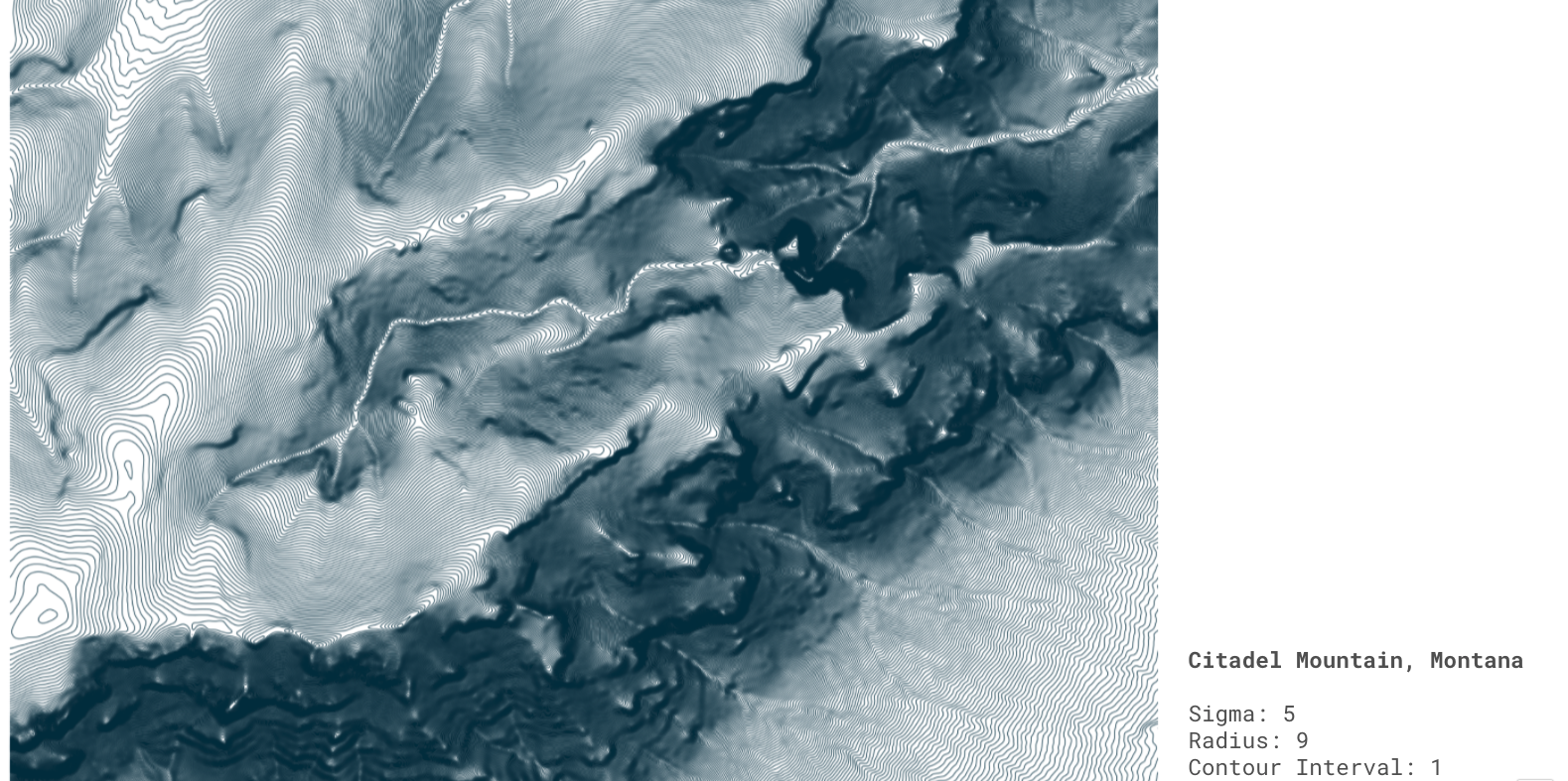
Example of 1 meter contours over Citadel Mountain in Montana.

