Webinar: Accessing USGS 3DEP Elevation Data in OpenTopography
This subscription provides access to lidar topography covering most of the US mainland, Hawaii, and territories as well as satellite data over the Arctic and Antarctic. This includes access to the USGS 3D Elevation Program (3DEP) and NOAA Coastal Lidar.
A recording of the webinar is available here:
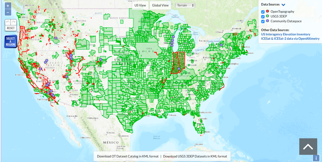
OpenTopography invites you to join us for a live webinar on Monday November 16 at 2 EST/11 PST on seamless access to the USGS’s 3D Elevation Program (3DEP) lidar datasets via OpenTopography. Learn how to discover and integrate 3DEP data into your science by using OpenTopography’s on-demand processing tools to subset, grid, visualize, and download elevation data that now cover over 67% of the United States.
The US Geological Survey’s 3D Elevation program aims to collect quality bare earth and point cloud elevation data (lidar and IfSAR) nationwide by 2023. Applications include natural disaster mitigation from wildfires, floods, hurricanes, landslides and earthquakes, geologic resource assessment, agriculture, forestry, and infrastructure management.
Earlier this year, OpenTopography announced a pilot project to make these exciting data available to our core US academic user community. This functionality enables seamless access to 3DEP data coupled with OpenTopography's tools for data download, visualization, and processing. We invite US academics (with a valid .edu email address) to follow along in our webinar demo and learn how to access ad process 3DEP datasets. Although these data are not presently available to non-academic users, all are invited to attend, learn about OpenTopography, and to indicate interest in accessing 3DEP data from our portal.
Webinar hosts: Chris Crosby, Chelsea Scott, and Matt Beckley
Create a free OpenTopography account (required to access 3DEP data as a US academic). Non-US academics can indicate interest in 3DEP access via OpenTopography after creating an account.
More information on 3DEP data access via OpenTopography.

USGS 3DEP lidar topography freely accessible via OpenTopography shown in green.

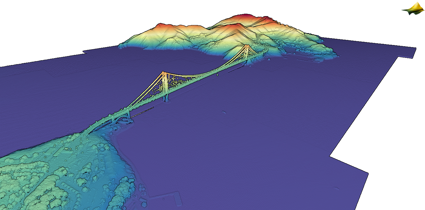
Golden Gate Bridge, San Francisco, CA. 3D lidar point cloud colored by elevation and visualized on OpenTopography.
