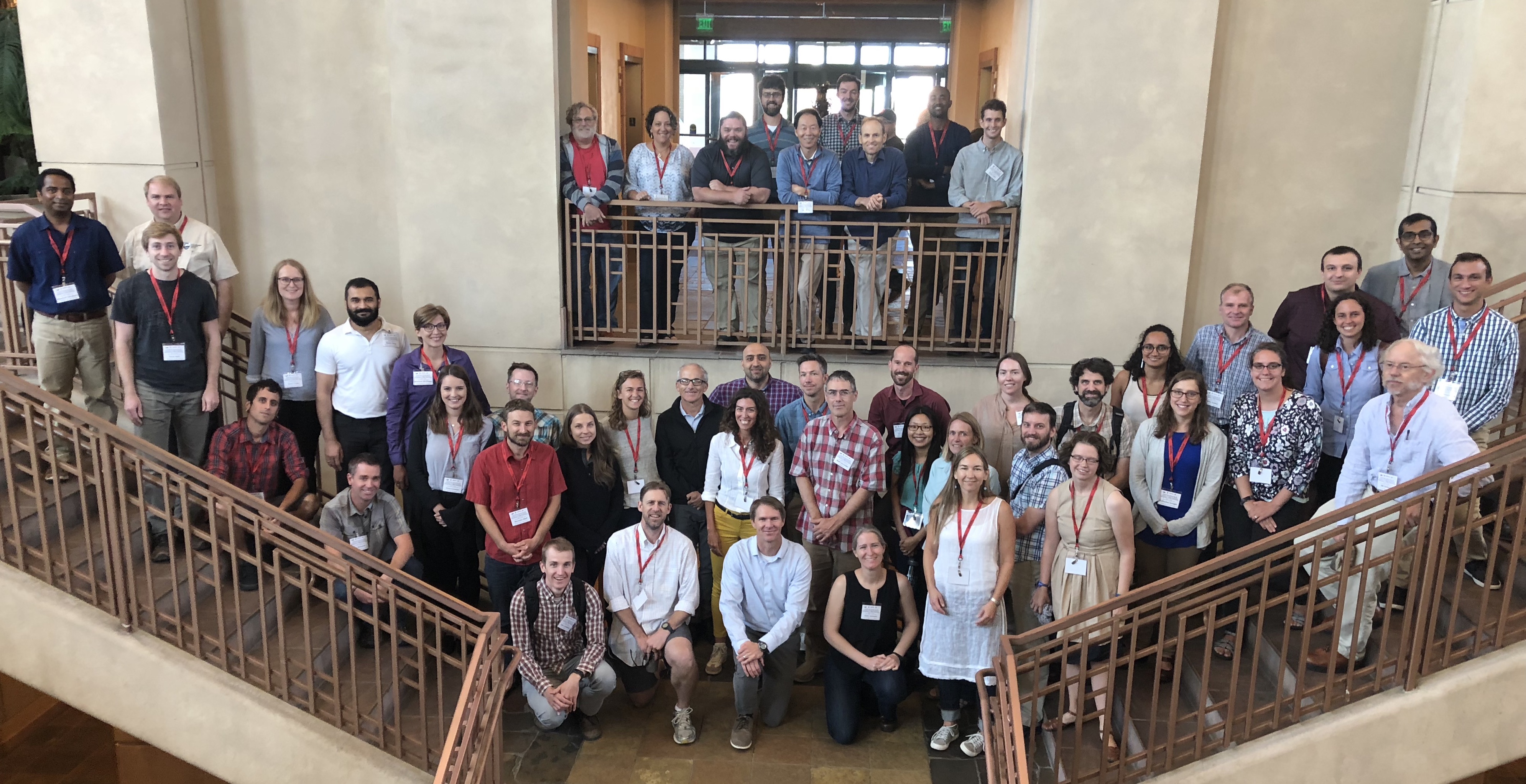
EarthCube Advancing the Analysis of HRT Workshop #1
EarthCube Research Coordination Network Workshop #1 - Advancing the Analysis of High Resolution Topography (A2 HRT)
August 21-24, 2018
Omni Interlocken Hotel, Broomfield, CO


READ: WORKSHOP REPORT
ORGANIZING COMMITTEE
- Paola Passalacqua (UT Austin - Project PI)
- Nancy Glenn (Boise State - Project PI)
- Christopher Crosby (UNAVCO - Project PI)
- Craig Glennie (University of Houston)
- Dimitri Lague (Universite de Rennes, France)
- Josh Roering (University of Oregon)
- Jason Stoker (USGS)
- Joe Wheaton (Utah State University)
OVERVIEW
Technologies such as lidar, multibeam sonar, structure from motion photogrammetry, and synthetic aperture radar have transformed the acquisition of high resolution terrain, bathymetry, and vegetation structure data. Petabytes of data have been collected, but their full scientific utilization is still limited. This A2 HRT Workshop is organized through an NSF-funded EarthCube Research Coordination Network (RCN) to bring together the Earth science community to discuss technical challenges and cyberinfrastructure requirements to answer scientific questions, coordinate research activities, and share best practices and resources. The first part of the workshop will be comprised of talks, pop-ups, and discussion sessions. Tutorials on advanced methods for HRT analysis will be offered in the second part of the workshop. Participants are expected to attend the workshop for the full duration. Funding is available for partial support of participants. Space is limited.
Topics of talks, participant presentation, and brainstorming sessions:
(1) New Technologies for Data Acquisition and Tools
(2) Integration across Disciplines
(3) Using high resolution data in numerical models
Tutorial:
(1) Principles of topographic change detection (all participants)
(2) Hands-on introduction to two techniques/tools for implementing advanced change detection
Additional activities of the workshop:
(1) Preparation of whitepapers on workshop themes
(2) Identification of future needs for software, cyberinfrastructure, and other resources to support the HRT community
(3) Networking to enhance community development of high resolution topography

POSTERS & LIGHTNING TALKS
The poster session will be on Tuesdays and Wednesdays evenings. You can present your poster both evenings. Poster boards will be provided. The poster size is 48” wide x 36” tall. You will have an opportunity to present the topic of your poster in a lightning presentation on one of the evenings. We will use last names (A-L on Tuesday and M-Z on Wednesday). This will be verbal (no slides) with a maximum of 2 minutes (a timer will be used, please practice!).
TRAINING RESOURCES
Software, sample data, and related resources for hands-on training component of the workshop.
BRAINSTORMING SESSION GOOGLE DRIVE
Google Drive space for capturing brainstorming notes, presentation slides, and writing exercises.
YOUTUBE PLAYLIST OF RECORDED TALKS
YouTube playlist of recordings of audio and slides for presentations from the workshop. Each talk is linked directly in the agenda below - click the ![]() icon.
icon.
WORKSHOP AGENDA
Tuesday August 21
- 3:30 PM – Workshop starts – Intro to the EarthCube RCN goals
4:00 – Ice-breaker/participant introductions
4:30 - Introductory talks:
- (I) New technologies for data acquisition and need for tools – Craig Glennie (
(II) Integration across disciplines- Joe Wheaton (
(III) Using high resolution data in numerical models – Irina Overeem (
5:30 – Lightning poster introductions from first 1/2 of participants
6:30 - Poster viewing and evening reception
Wednesday August 22
- 7:30 AM – breakfast
8:30 – Intro talks on theme New Technologies for Data Acquisition and Tools
- Jason Stoker: "Evaluating Single Photon and Geiger-Model Lidar"
Mike Olsen: "Resources available for Researchers through the NSF Natural Hazards Research Infrastructure (NHERI) Rapid Facility"
9:15 – brainstorming on topic in small groups (participants will be divided into 3 groups of ~15-20 each)
10:00 – coffee break
10:15 - Groups select one idea to report out
10:30 - Reporting from each group
11:00 - Writing session
12:00 – Lunch (Introduction to NEON AOP - Tristan Goulden)
1:30 - Intro talks on theme Integration across Disciplines
- Josh Roering: "Point Clouds, Critical Zones, and Conflagrations in the Cascadia Canopy" (
Vicki Ferrini: "Making elevation data accessible to non-specialist users" (
2:15 - brainstorming on topic in small groups
3:00 - coffee break
3:15 - Groups select one idea to report out
3:45 - Reporting from each group
4:15 - Writing session
5:00 - Lightning poster introductions from second 1/2 of participants
6:00 - Poster viewing and evening reception
Thursday August 23
- 7:30 AM – breakfast
8:30 – Intro talks on theme Using high resolution data in numerical models
- Fiona Clubb: "New techniques for clustering of river profiles: examples from both real and synthetic landscapes" (
Ramon Arrowsmith: "2.5D to 4D initial and boundary conditions and testing numerical models with high resolution topography" (
9:30 – Brainstorming on topic and writing
10:45 - Reporting from each group
11:15 - Workshop outcomes and group discussion
11:45 - Group photo
12:00 – lunch (group photo)
1:00-2:00 – Joe Wheaton: "Principles of topographic change detection" (![]() )
)
2:00-2:10 - break
2:10-3:00 - Craig Glennie: "Challenges with change detection" & introduction to PIV change detection (![]() )
)
Chelsea Scott: "3D Topographic Differencing of Meter-Scale Topography" (![]() )
)
3:00 – 6:00 Parallel sessions:
- 1) Cloud-to-cloud change detection (Scott)
2) PIV change detection (Glennie)
Friday August 24
- 7:30 AM – breakfast
8:30-11:30 – Parallel sessions (groups switch):
- 1) Cloud-to-cloud change detection (Scott)
2) PIV change detection (Glennie)
11:30-12:30 - Lunch and departure
SPONSORS
NSF EarthCube RCN: Connecting the Earth Science and Cyberinfrastructure communities to advance the analysis of high resolution topography data (NSF-EAR #1642611)
NSF NEON (NSF-EF #1550916)
UNAVCO GAGE Facility (NSF EAR #1261833)
OpenTopography (NSF-EAR #1557484)
TRAVEL and LOGISTICS
The workshop will run from 3:30 PM on Tuesday, August 21 to noon on Friday, 24, 2018. Participants are expected to attend the workshop for the full duration.
Workshop will be held at the Omni Interlocken Hotel in Broomfield, CO. Workshop travel and logistics will be coordinated by UNAVCO.
Shuttle service is available by Green Ride Boulder. The Omni is the first arrival drop off and the last departure pick up. The shuttle cost is $40 each way. Please click here to make a reservations. Alternatively, the RTD AB1/AB2 bus from DIA ($9 one-way) services the “US 36 & Flatiron Station” stop, about a 15 minute walk from the Omni.
Participation by graduate students and early career scientists is encouraged. Prior experience with high resolution topography data and analysis is expected.
Questions?: crosby@unavco.org
