Introducing OT+ (OpenTopography Plus)
Updated October 29th, 2024
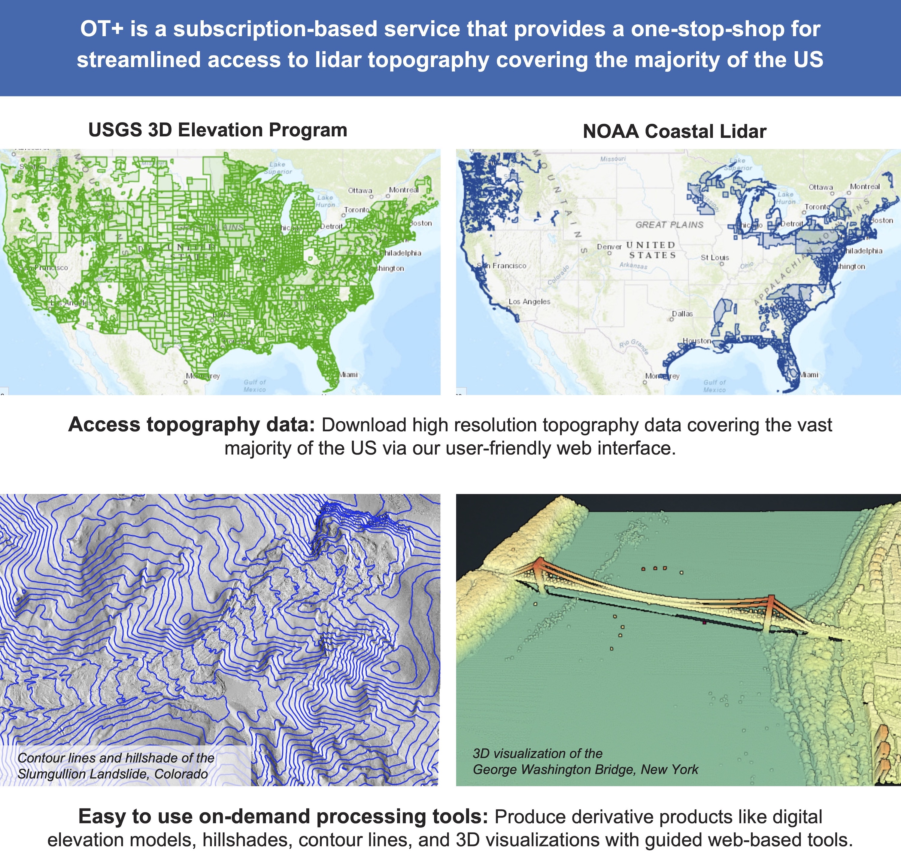
This subscription provides access to lidar topography covering most of the US mainland, Hawaii, and territories as well as satellite data over the Arctic and Antarctic. This includes access to the USGS 3D Elevation Program (3DEP) and NOAA Coastal Lidar.
OpenTopography is happy to announce a new subscription-based program (OT+) to enable access to our platform of user-friendly services applied to high resolution lidar topography data covering the vast majority of the US’s lower 48, Hawaii, and territories.
Users will have access to OpenTopography’s user-friendly processing tools to generate and download point clouds, digital elevation models, topographic hillshades, contour lines, and other visualizations with just a few mouse clicks.
OT+ enables users in government and industry to efficiently and easily access high resolution topography data without the need for specialized software or local compute resources, saving valuable time and money.
OT+ Features:
OT+ Pilot Cost: $95 for access until November 15th, 2024 (one time payment)
The OT+ Pilot is now closed. Access to restricted access datasets is now possible via a monthly or annual OT+ subscription. OT+ details and costs are HERE. |

|
Demo the OT platform with these open access datasets:
USGS 3DEP Lidar : Tucson, AZ
NOAA Coastal Lidar: Maui, HI
