Online Training
OpenTopography online training resources for self-paced learning.
Have you used these resources? Share your feedback here.
 |
Video Tutorials on OpenTopography tools, GIS, and using topography data in QGIS, ArcGIS, Lastools, Matlab, and CloudCompare. |
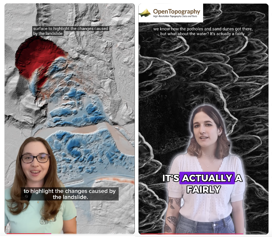 |
These video shorts explore what we can learn about the Earth and geology from remote sensing data like lidar. |
 |
Learn the basics of what lidar is, how lidar works, and its applications |
 |
Blog posts, tutorials, conference presentations, code, and an undergraduate exercise about vertical and 3D differencing |
 |
Tutorial and guides for producing 3D prints from digital elevation models (DEMs) |
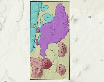 |
Geologic Mapping in ArcGIS Pro Suite of tutorials demonstrates how to construct geologic maps from high resolution topography in ArcGIS Pro |
 |
Use the Potree point cloud viewer to display and interact with point clouds |
 |
Archive of OpenTopography webinars |
|
A collection of Jupyter Python Notebook examples utilizing OpenTopography data and processing resources interactively |