Wasatch Nephi North Data Now Available
Sep 11, 2009
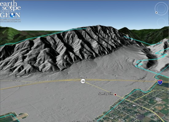
OpenTopography is pleased to announce that the Nephi North portion of the Wasatch fault LiDAR data set, acquired during the GeoEarthScope Intermountain Seismic Belt (ISB) project is now available. The majority of the ISB data set was released via OpenTopography in May, but due to additional data processing challenges, the Nephi North segment of the data set was not distributed at that time.

Like the rest of the GeoEarthScope LiDAR available via OpenTopography, data are available as point clouds and custom digital elevation models, standard digital elevation models, and as hillshade images that can be viewed in Google Earth.
