About
OpenTopography facilitates efficient access to topography data, tools, and resources to advance our understanding of the Earth’s surface, vegetation, and built environment.
OpenTopography Mission
- Data: Expand efficient online access to high-resolution topographic data from lidar, radar, and photogrammetry.
- Tools: Provide web-based tools for discovering, accessing, processing, and visualizing open Earth science data.
- Efficient & Equitable Access: Harness advanced cyberinfrastructure to deliver scalable and innovative web-based data services.
- Education & Training: Support the community through professional training and expert guidance in data management and analysis.
Team
OpenTopography is a joint collaboration between the San Diego Supercomputer Center at the University of California San Diego, the EarthScope Consortium, and the School of Earth and Space Exploration at Arizona State University. Core operational support for OpenTopography comes from the Division of Earth Sciences at the National Science Foundation.
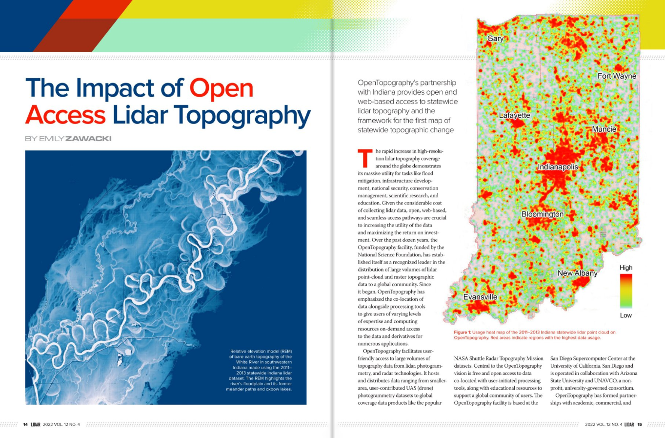
Read about OpenTopography in Lidar Magazine
Data Availability:
NSF-funded and sponsored datasets are free and open to all. Specialized federated data access is reserved for academics and subscribers.
More information about OT+ can be found on our subscriptions page.
Data access restrictions may be lifted during emergencies (e.g., Vermont floods, Maui wildfires, Hurricane Ian) to support disaster response and recovery.
Partnerships and Contact
Email for General Enquiries: info@opentopography.org (Expect a reply within 2 business days for data, partnership, or training queries.)
Specific Service Areas:
For services for government agencies and commercial organizations, please visit our commercial partnerships page.
For services for academic institutions, please visit our Academic Services page.
Visit our Frequently Asked Questions page.

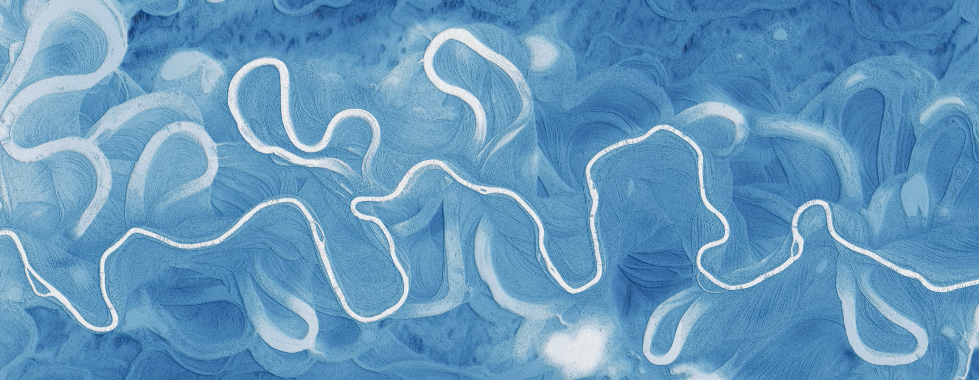
Relative elevation model (REM) of Birch Creek, a tributary to the Yukon River, Alaska, USA.

