Updated: Six new pre-Kaikoura, New Zealand earthquake lidar datasets available
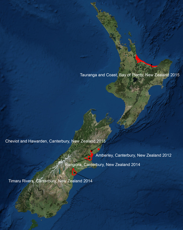
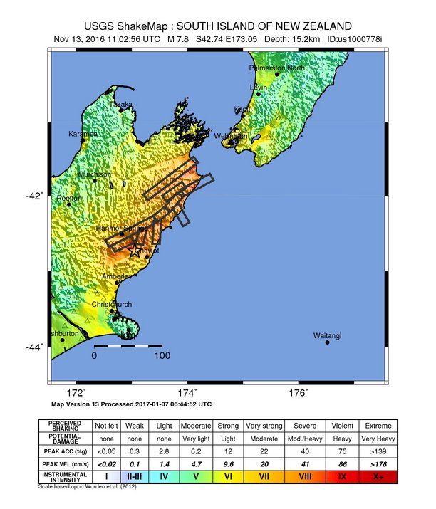
OpenTopography is pleased to announce the availability of five lidar point cloud datasets, primarily in the areas surrounding Kaikoura, Canterbury, New Zealand. The Kaikoura region was hit by a M7.8 earthquake on the 14th of November, 2016. These data were collected prior to the earthquake and complement the previously posted Kaikoura, Canterbury, New Zealand 2012 dataset. The inclusion of these datasets in OpenTopography is a continuation of our collaboration with Land Information New Zealand (LINZ). The data were collected by AAM NZ, Aerial Surveys and their subcontractors.
New datasets (list updated March 20, 2017)
- Amberley, Canterbury, New Zealand 2012
- Cheviot and Hawarden, Canterbury, New Zealand 2015
- Rangiora, Canterbury, New Zealand 2014
- Timaru Rivers, Canterbury, New Zealand 2014
- Tauranga and Coast, Bay of Plenty, New Zealand 2015
- Christchurch and Selwyn, Canterbury, New Zealand 2015
Previously posted LINZ datasets
New Zealand (other)


Above: USGS Shakemap for the Kaikoura earthquake. Above right: Satellite image of New Zealand showing location of datasets included in this release.
