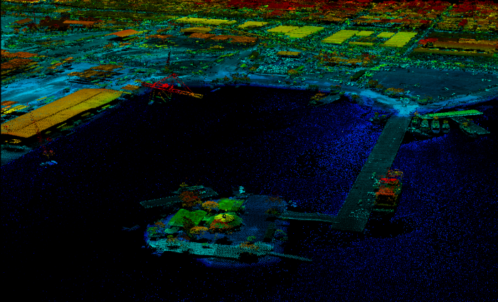
Post-January 2010 Haiti earthquake lidar data now available via OpenTopography
OpenTopography is pleased to announce the release of 840 sq kilometers of lidar point cloud data collected between January 21st and January 27th, 2010, in response to the January 12th magnitude 7.0 Haiti earthquake. These data were collected by the Center for Imaging Science at Rochester Institute of Technology (RIT) and Kucera International under sub-contract to ImageCat, Inc., and funded by the Global Facility for Disaster Recovery and Recovery (GFDRR) hosted at the World Bank. These data have been publicly available via open FTP linked from the RIT Information Products Laboratory for Emergency Response (IPLER) 2010 Haiti Earthquake page since their release earlier this year. OpenTopography is now hosting the data as a service to the scientific and relief communities and hope that OpenTopography features such as data download by user defined area of interest and on-the-fly digital elevation model (DEM) generation will make these data more easily accessible and therefore increase their utilization.
For more discussion about lidar data collection in Haiti following the January 2010 earthquake, please see the OpenTopography blog tag: 2010 Haiti EQ.
Data Acknowledgment:
Lidar data were acquired by Rochester Institute of Technology and Kucera International, under sub-contract to ImageCat Inc. and funded by the Global Facility for Disaster Reduction and Recovery (GFDRR) hosted at The World Bank.

