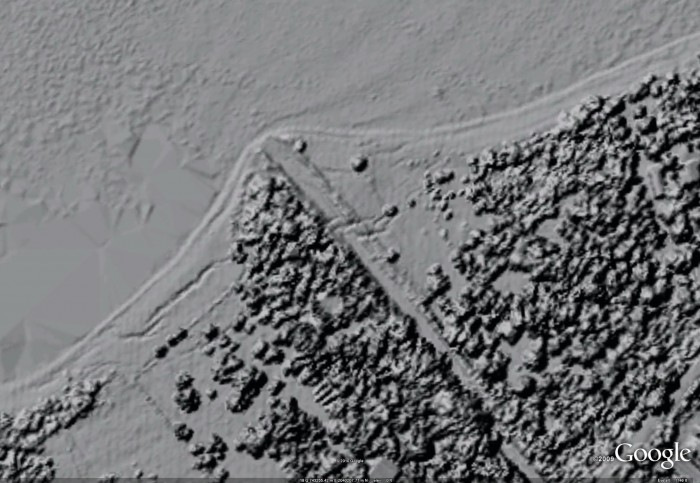
Haiti LiDAR imagery in Google Earth
As discussed in previous blog posts (here and here), LiDAR data have been collected over parts of Haiti following the January 12th earthquake. The data collected by the Center for Imaging Science at Rochester Institute of Technology (RIT), Kucera International, and ImageCat, Inc., has recently become available via an FTP site maintained by the USGS that is hosting geospatial data acquired in response to the Haiti earthquake. These data were collected during a campaign between January 21st and the 27th.
In order to make these data easier for all users to access, I downloaded and processed the filtered (bare earth) and unfiltered DEM data into hillshade images (315 degree illumination angle, 1 meter resolution) that can be viewed in Google Earth. The approach used was similar to what I've done for all of the EarthScope LiDAR imagery available via KML (more info is available in this AGU abstract). The result is roughly ~1.5 GB of hillshade imagery for Haiti hosted on OpenTopography servers that can be browsed seamlessly in Google Earth. Download the KML file using the button below and open in Google Earth to get started:
NOTES:
- The LiDAR topography data set from which these images were derived was provided by the Center for Imaging Science at Rochester Institute of Technology (RIT) and Kucera International, respectively, under contract to ImageCat, Inc. The Haiti campaign was funded by the World Bank and the Global Facility for Disaster Recovery and Recovery (GFDRR) and have made all data available in the public domain. More information about these data can be found at the RIT Information Products Laboratory for Emergency Response (IPLER) 2010 Haiti Earthquake page.
- The extent of the LiDAR data is shown by the cyan colored outlines. The images will load once the user has zoomed into an area of interest. The imagery becomes progressively higher resolution as you zoom in.
- All of the imagery is accessed via "Network Link" to servers in San Diego, thus a strong and consistent internet connection is required.
- The transparency of the LiDAR hillshades can be adjusted using the slider bar at the bottom of the PLACES menu in the left hand navigation bar.
EXAMPLES:
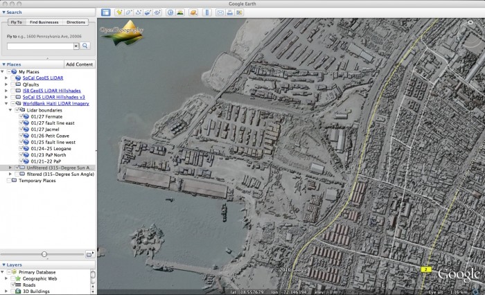
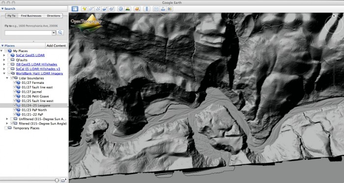
Imagery:
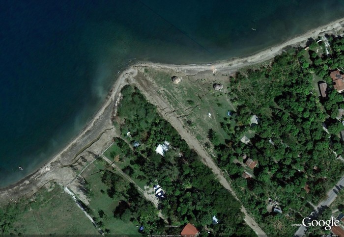
Filtered:
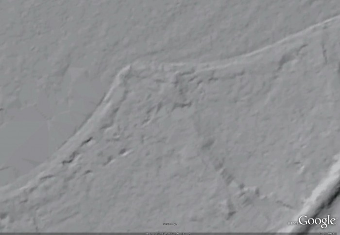
Unflitered:
