Pima Association of Governments makes lidar data for Pima County open access on OpenTopography
Pima Association of Governments (PAG) has partnered with OpenTopography to make the most recent high-quality USGS 3DEP light detection and ranging (lidar) dataset over Pima County, Arizona “open access” via OpenTopography - an online, public, geospatial data portal. Lidar is a remote sensing method used to create high resolution three-dimensional representations of the Earth's surface, including buildings, streets, vegetation, and the ground.
OpenTopography provides a one-stop solution for hosting and publicly distributing topography data. The website includes easy-to-use tools such as filtering, selecting, cropping and downloading; it has visuals such as 3D models and hillshades; and you can use its tools for analysis to create contour lines, conduct hydrologic modeling, and assess structure heights.
OpenTopography makes it easier for organizations like PAG to share large datasets with its community. By coordinating with agencies across the region, PAG funds periodic remote sensing acquisitions. The partnership between PAG and OpenTopography enables urban planners, engineers, consultants, and others in the public to access and use the data without needing special software, storage space, or processing tools.
PAG is a regional planning organization for the greater Tucson region and an association of local, state and tribal governments that facilitates planning and collaboration on matters related to transportation, air quality, water resources, economic development, and other regional concerns. The organization’s investment ensures that high-resolution lidar topography datasets for the region are widely available to the community and stakeholders to be used effectively in making informed land-use planning and management decisions within Pima County.
OpenTopography hosts and provides open online access to many high-resolution lidar topography datasets as well as global and regional datasets like NASA's Shuttle Radar Topography Mission (SRTM) and USGS's 1 and 1/3rd arc-second Digital Elevation Models (DEMs). OpenTopography also centralizes access to networks of data and applies value-added processing to USGS 3DEP and NOAA Coastal lidar datasets. Normally access to the USGS and NOAA datasets via OpenTopography are restricted to the academic community due to funding constraints. Thanks to the funding partnership with PAG, the Pima County datasets are the first USGS 3DEP datasets that are fully open on the OpenTopography platform with unrestricted access to data and processing tools.
The AZ PimaCo 2 2021 USGS 3DEP dataset covers Tucson and the surrounding area and is immediately available to the community via OpenTopography for access and processing. An additional Pima County 3DEP dataset over portions of the western part of the county is coming as soon as the dataset is published by USGS.
A video tutorial on how to access and process these datasets via the OpenTopography platform is here.
Contact PAG at GIShelp@pagregion.org if interested in further trainings with PAG’s Regional Data Working Group.
Learn more about OpenTopography data sponsorship here and get in touch with our team to discuss sponsorship opportunities for your topography datasets.
Find the data here:
- AZ PimaCo 1 2021: Covers western Pima county
- AZ PimaCo 2 2021: Covers the greater Tucson area

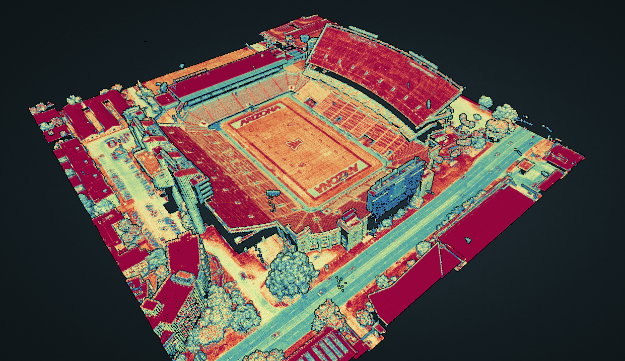
3D lidar point cloud colored by intensity gradient of the University of Arizona football stadium in Tucson.

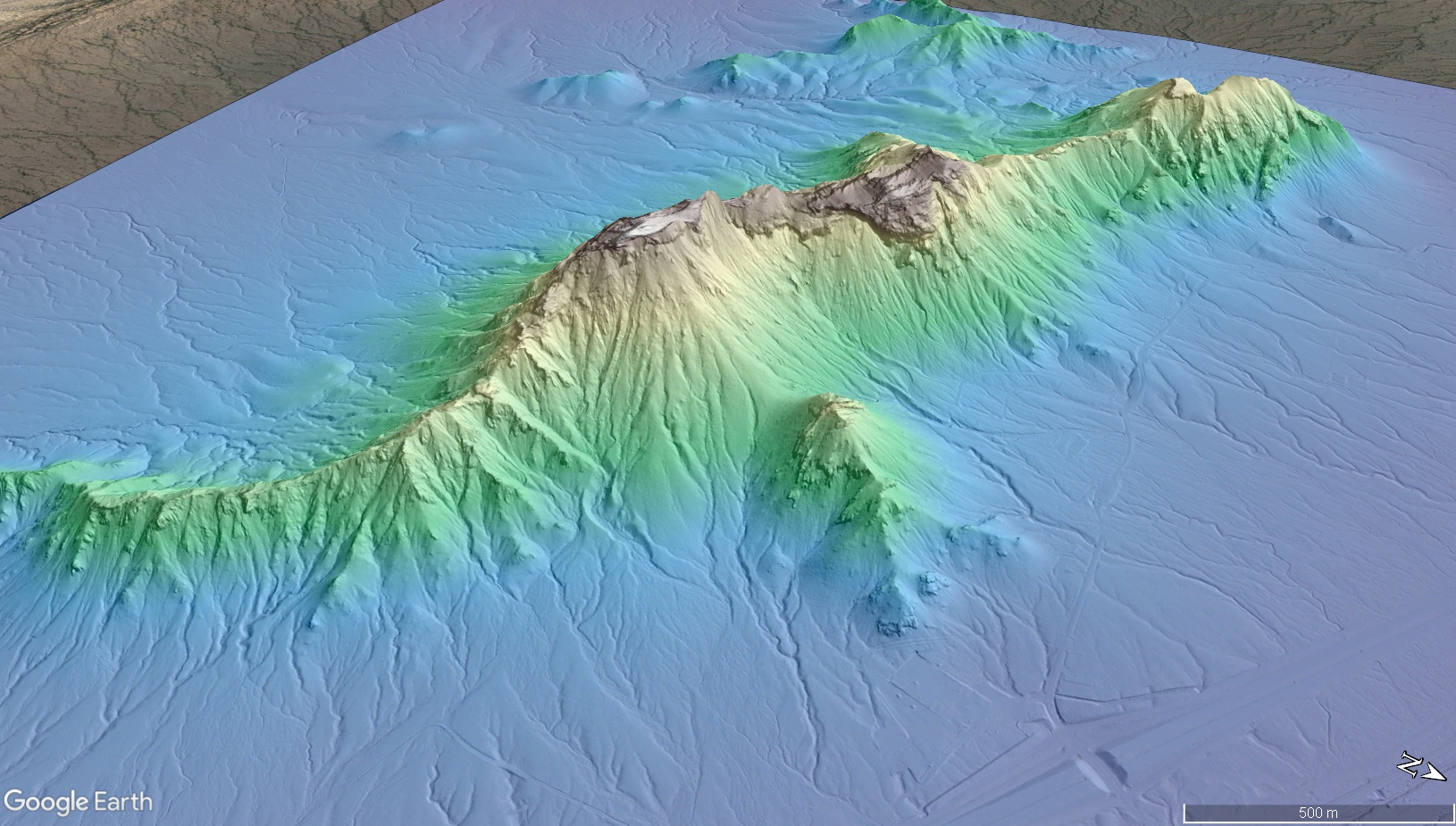
Hillshade of a digital terrain model (DTM) colored by elevation of Picacho Peak overlain on Google Earth Imagery.

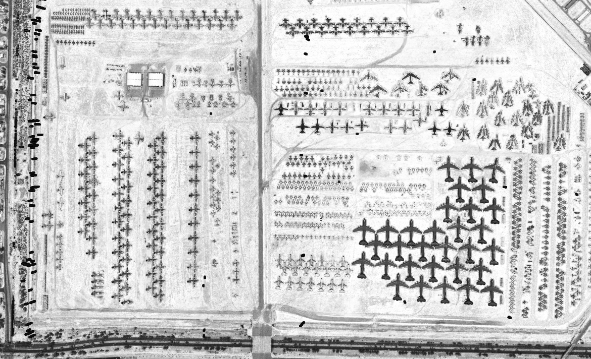
3D lidar point cloud colored by intensity of the Davis-Monthan Air Force Base Airplane Boneyard showing parked and stored airplanes in Tucson, AZ.

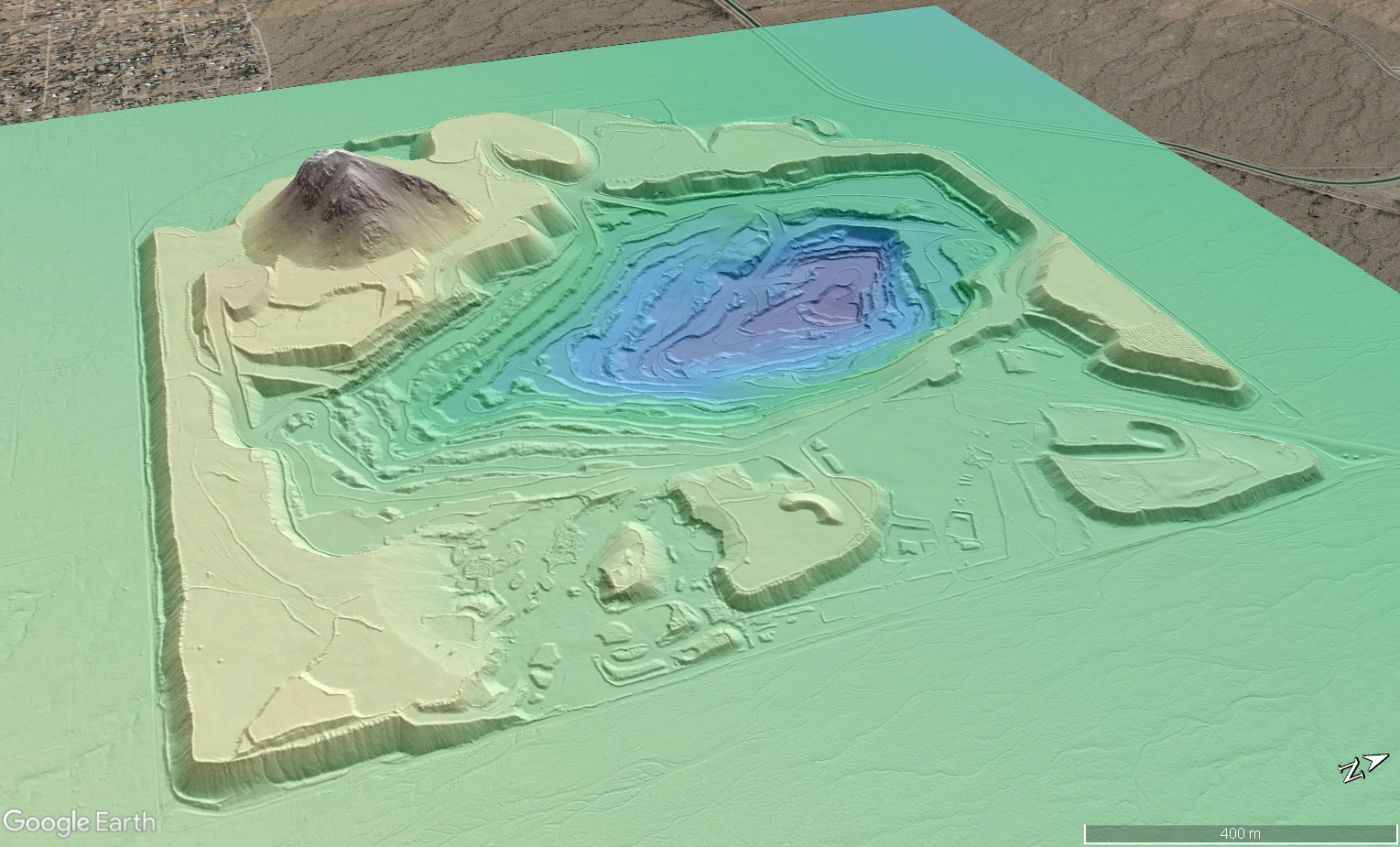
Hillshade of a digital terrain model (DTM) colored by elevation of Twin Peaks Quarry in Pima County overlain on Google Earth Imagery.
Video tutorial demonstrating how to access and process open, unrestricted USGS 3DEP data on OpenTopography.
