NOAA Coastal Lidar Data Now Available to Academic Users Through OpenTopography
We're pleased to announce that NOAA's Coastal Lidar Data holdings are now available to academic users of OpenTopography. This new functionality enables access to over 800 new datasets, covering almost 1.4 million km2 (6.92 trillion points), with additional data to be added as they become available. The OpenTopography platform adds value to these NOAA data by improving access and providing processing capabilities for subsetting, gridding, visualization, and hydrologic terrain analysis. This addition of NOAA Coastal Lidar Data access from OpenTopography follows our 2020 integration of data from the USGS 3D Elevation Program (3DEP); making OpenTopography a one-stop resource for accessing the largest catalogs of public domain lidar in the United States.
OpenTopography access to these NOAA Coastal Lidar Data is possible because since 2021, NOAA has been publishing many of its lidar collections along the coasts and inner waterways of the United States and territories through the AWS Public Dataset Program, enabling broader programatic access to these valuable datasets. The NOAA Coastal Lidar Data is a collection of lidar projects from many different sources and agencies, geographically focused on the coastal areas of the United States of America. Elevation data are collected using a green laser for bathymetry and a green or near-infrared laser for topography.
Registered academic OpenTopography users with an account associated with a valid .edu email address will now be able to seamlessly discover, download, and process NOAA lidar data via the OpenTopography’s easy to use interactive web interface. The NOAA lidar data are in addition to the USGS 3DEP collection which has been available to academic users since 2020.
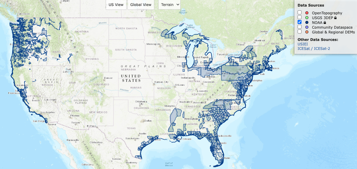 Map showing NOAA's coastal lidar coverage now available through OpenTopography.
We are initially restricting access to our core academic user community (users with .edu email addresses). However, we are extending NOAA data access to international academics, K-12 teachers, and informal educators via a formal application process described here. OpenTopography is supported primarily by the U.S. National Science Foundation Division of Earth Sciences, and thus we’re initially offering this new functionality for academic research and education only due to limited resources. We're presently evaluating if there is broader demand for access to these data via OpenTopography, monitoring scalability and performance, and exploring sustainability models that would enable us to offer this service to all OpenTopography users. Information about other access pathways for NOAA Coastal Lidar can be found here.
As always, if you have feedback on this new OpenTopography functionality we encourage you to contact us via email or our social media channels.
Examples of NOAA datasets accessed via OpenTopography:
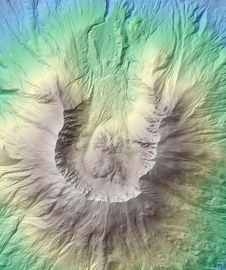
Hillshade colored by elevation over Mount St. Helens, Washington.
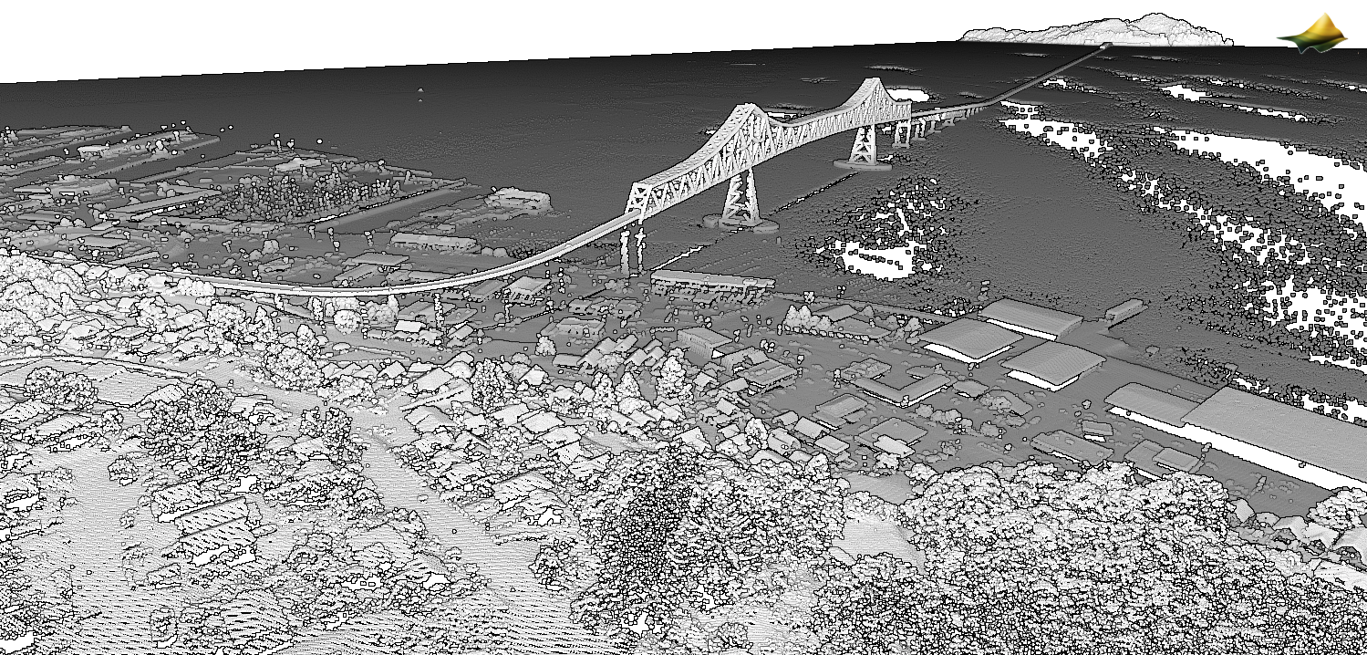
3D point cloud of the Astoria-Megler Bridge over the lower Columbia River, OR / WA
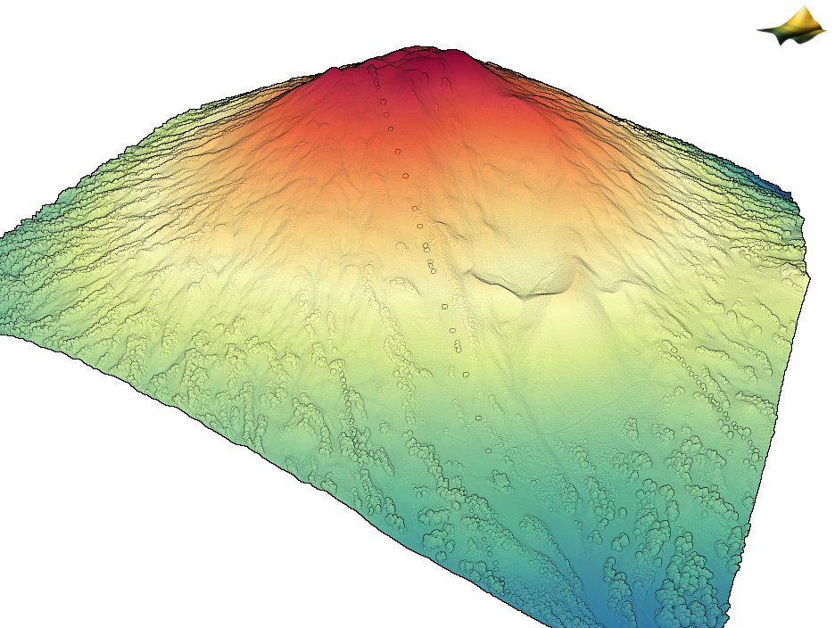
3D point cloud colored by elevation of Mt. Bachelor in Oregon. Note the ski lift in the center of the image
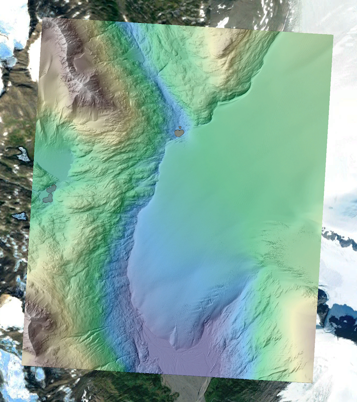
Hillshade colored by elevation of a glacier in the Kenai Peninsula, Alaska. Data is draped over Google Earth imagery.
