New USGS 3DEP Datasets Accessible Through OpenTopography
This subscription provides access to lidar topography covering most of the US mainland, Hawaii, and territories as well as satellite data over the Arctic and Antarctic. This includes access to the USGS 3D Elevation Program (3DEP) and NOAA Coastal Lidar.
New datasets are being continually added to the USGS 3DEP Amazon Web Services (AWS) bucket. If you are a U.S. academic, you can gain access to this valuable dataset through OpenTopography! Since August 2020, the coverage has increased by an additional 175 datasets, or 4.4 trillion new lidar points. The over 800,000 km2 of new data include coverage the following states: Alabama, Alaskan North Slope, California, Colorado, Connecticut, Indiana, Illinois, Kansas, Kentucky, Louisiana, Maine, Michigan, Minnesota, North Carolina, Nebraska, New Mexico, New York, Oklahoma, Pennsylvania, South Dakota, Texas, Utah,Virginia, Washington, Wisconsin, and Wyoming. Registered OpenTopography users with an account associated with a valid '.edu' email address will be able to seamlessly discover, download, and process this data via the standard OpenTopography interface. OpenTopography’s mission is to make high resolution topography easier to discover and use. By enabling the suite of OpenTopography’s processing tools on the USGS 3DEP point cloud data, we hope to provide easy access to this collection for a broader user community, effectively increasing the value and impact of this important data collection.
As always, if you have feedback on this new OpenTopography functionality we encourage you to contact us via email or to reach out via our social media channels.
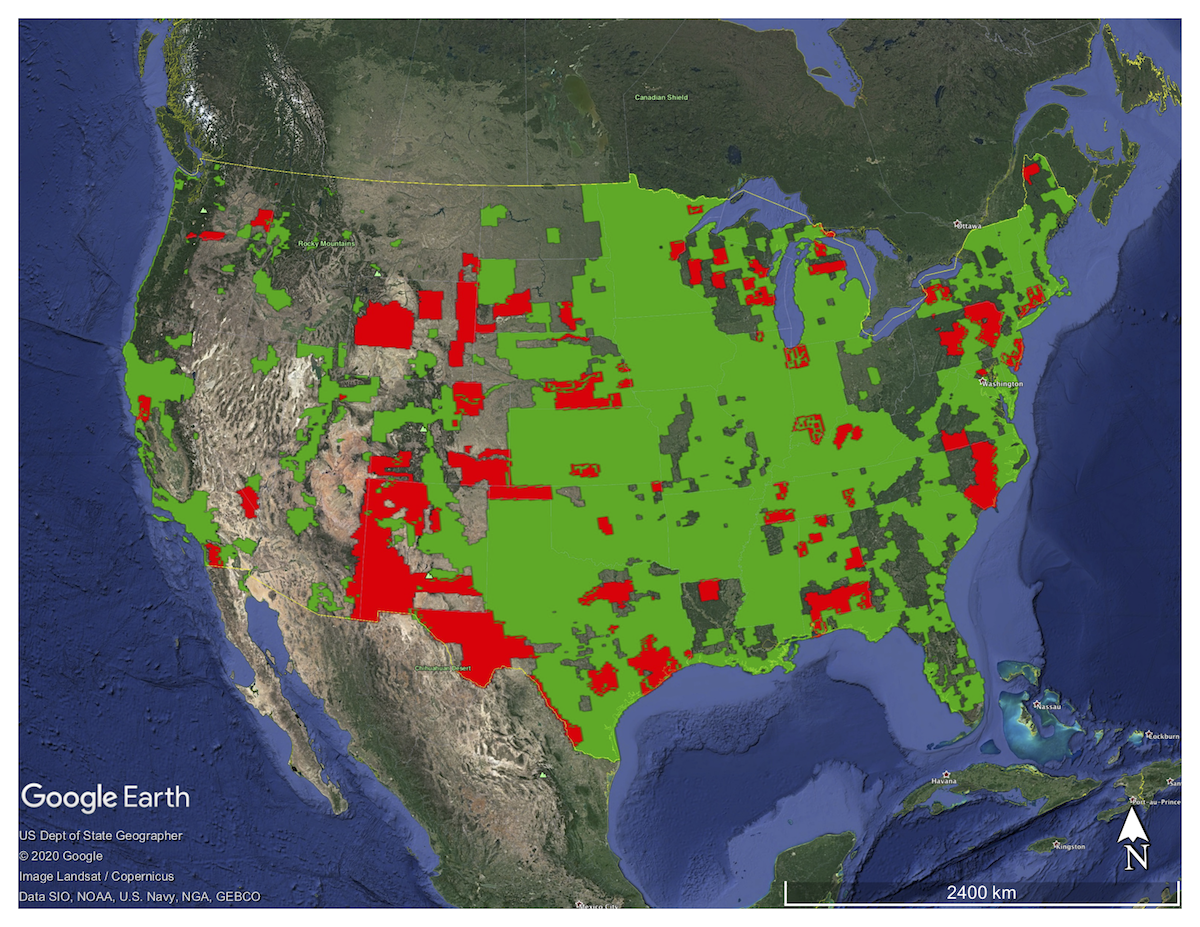
Map showing newly released USGS 3DEP coverage (red polygons), adding to the previous 3DEP coverage (green polygons) that is now available through OpenTopography.
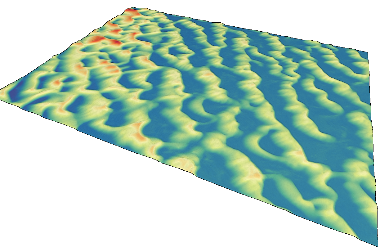
Point cloud colored by elevation of White Sand Dunes National Park in New Mexico..
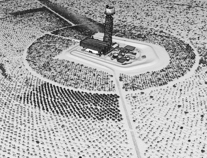
Point cloud colored by intensity of solar array in California.
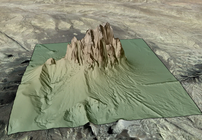
Digital Elevation Model of Ship Rock in New Mexico draped on Google Earth imagery.
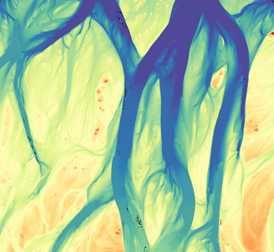
Point cloud colored by elevation of braided streams in Deadhorse, Alaska.
