New global data available: NASADEM and Copernicus DEM
OpenTopography has expanded our collection of global datasets to include the NASADEM, as well as the European Space Agency (ESA) Copernicus Digital Elevation Models (DEMs). This adds to OpenTopography's existing global datasets: NASA Shuttle Radar Topography Mission (SRTM) DEM, STRM15+, and the Japan Aerospace Exploration Agency (JAXA) Advanced Land Observing Satellite (ALOS) DEM. This broad array of DEMs provides global coverage using data derived from different space-based sensors. The OpenTopography portal provides easy GUI-based access, as well as a suite of processing and analysis tools to help quickly utilize these important datasets. In addition, these datasets are also available via the OpenTopography global datasets API and via cloud-based bulk storage as Cloud Optimized GeoTIFFs (COGs).
Note for API users: With the release of these two new global datasets, we have introduced an API key requirement. Please see this blog post for an explanation of why we've implemented API keys, and instructions for how to request one.
Get the Data:

The NASADEM is a modernization of the SRTM DEM and uses enhanced data processing techniques as well as using Ice, Cloud and Land Elevation Satellite (ICESat) data for ground control. The optimized processing technique used for the NASADEM has minimized data voids, extended spatial coverage, and improved the vertical accuracy of the SRTM DEM.

The Copernicus Digital Elevation Models are derived from an edited DSM named WorldDEM which is based on the radar satellite data acquired during the TanDEM-X Mission. This dataset is a DSM, therefore elevation measurements represent the surface of the Earth including buildings, infrastructure and vegetation. OpenTopography is providing access to the global 30m (GLO-30) and 90m (GLO-90) DSM through the public AWS S3 bucket established by Sinergise.

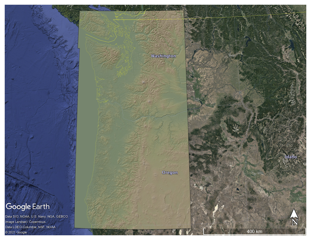
NASADEM Colored Digital Elevation Model (DEM) of the Cascade Mountain Range draped on Google Earth imagery
