Introducing API keys for access to OpenTopography global datasets
As OpenTopography continues to expand our data catalog, the number of users and jobs to access data have grown considerably. It's very exciting to see such significant growth in use of OpenTopography, but these increases also mean that the computational load on our systems has grown as well. Another exciting trend is that many software programs are now integrating OpenTopography's global data API into their own programs, which has drastically increased the volume of API calls to our servers. To better manage this increased load, OpenTopography has implemented API authorization keys for access to the two most recently released global datasets: NASADEM, and the European Space Agency (ESA) Copernicus Digital Surface Models (30m and 90m). By requiring users to utilize authorization keys when accessing our API, we will be able to monitor and understand API usage, provide a more stable and secure user experience, and communicate the impact of OpenTopography to our funder, the U.S. National Science Foundation while continuing to provide these services for free to the community. Below is an example of how the number of API calls to OpenTopography servers has increased over the past year.
In addition to implementing API keys, OpenTopography has also scaled up our infrastructure to manage the increased API utilization. We have added additional compute resources to meet the increased demand in API access and will continue to monitor use and make improvements as use warrants.
At the moment the API key requirement only applies to these new datasets - NASADEM and the Copernicus Global Digital Elevation Models - recently added to OpenTopography. However it is our intention to implement API keys for all dataset accessed via the OpenTopography global datasets API on approximately January 1, 2022. If you are a current user of the API please make note of this transition date and take steps to make preparations well in advance. Users of the existing datasets (e.g. SRTM) can also incorporate API keys early. The web services are configured to accept API keys for all datasets at this time. If you have questions or concerns please send them to: info@opentopography.org

OpenTopography API jobs over the past 12 months - trends in May, 2021 suggest that API usage will exceed that of April, 2021.
How to obtain an API key?
Users can easily request and access a free API key through their MyOpenTopo dashboard:
- First access your MyOpenTopo Dashboard. Click on "Get an API Key"
- Next, click on the button, "Request API key" and you will be assigned an API key that you can use when accessing global datasets via API.
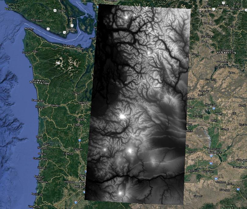
- That's it! If using the OpenAPI spec via swagger, you can enter your key in the API_Key field. If you are accessing the API via curl or an HTTP request, be sure to add the parameter, API_Key=yourAPIkey to the command. Your key is saved in the "API Key" section of your dashboard for future use. For example, here is an HTTP request to download NASADEM data in GeoTIFF format over the Cascade Mountains in Washington:
https://portal.opentopography.org/API/globaldem?demtype=NASADEM&south=45.196&north=49&west=-122.66&east=-119.95&outputFormat=GTiff&API_Key=yourAPIkeyHere

NASADEM GeoTIFF of Cascade Mountains plotted on Google Earth Imagery. GeoTIFF was created using the OpenTopography API.

