Data Visualization
Tools and tutorials written and/or compiled by OpenTopography for visualizing topography data :
 |
3D Printing: Learn how to create a STL file for 3D printing using a digital elevation model (DEM) downloaded from OpenTopography. We use the the DEMto3D plugin in QGIS to generate the STL file, which can then be viewed and modified using the 3D Builder software. |
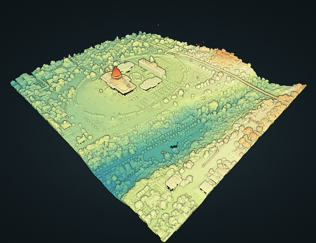 |
Potree Treasure Hunt: Use the Potree point cloud viewer to display and interact with point clouds. This treasure hunt activity guides participants through Potree tools to display and make measurements on four pre-processed datasets. |