Taking a look at the new Intermountain Seismic Belt GeoEarthScope LiDAR
May 7, 2009
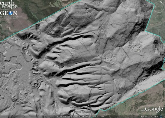
Officially released earlier today, the Intermountain Seismic Belt (ISB) GeoEarthScope LiDAR dataset, covering parts of the Wasatch fault in Utah, and Yellowstone and Tetons National Parks in Wyoming, is quite spectacular. I've been browsing the data via the Google Earth KMZ hillshade file that I produced and thought I'd post some screen captures to encourage you to download the file and explore the data too. The DEM data that was used to generate these hillshades can be downloaded from the OpenTopography Standard DEM page. The full ISB point cloud will be available via OpenTopography soon.
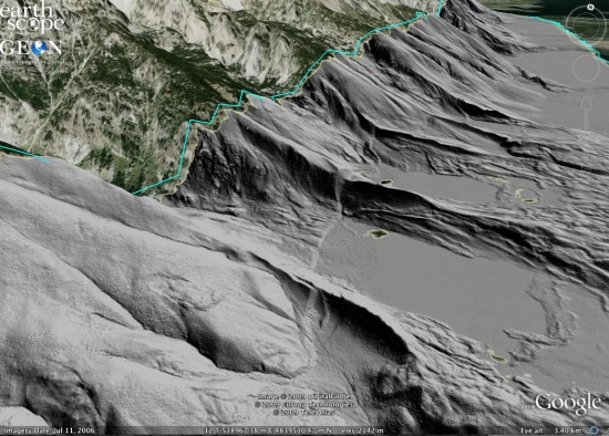
Fault scarp cutting glacial moraines at the base of Tetons (south of Jenny Lake):

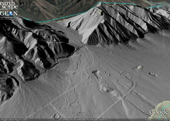
Scarp on the southern part of the Nephi strand of the Wasatch fault:

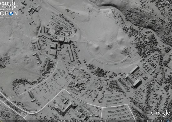
Unfiltered surface for the Old Faithful area - shows buildings (Historic Old Fatihful Inn at left), vegetation, and cars in the parking lot:

Spectacular faults at the east end of the Elephant Plateau dataset - with vegetation:
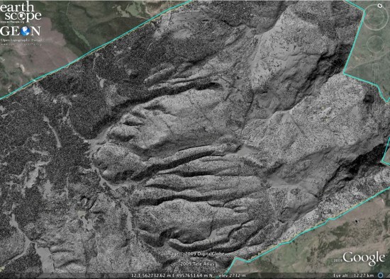

Filtered to remove vegetation:
