New NCALM datasets in CA, CO, LA, and WY now available
Six new NCALM (National Center for Airborne Laser Mapping) datasets covering portions of California, Colorado, Louisiana, and Wyoming are now available from OpenTopography. NCALM is an NSF-funded center that supports the use of airborne laser mapping technology (a.k.a. lidar) in the scientific community and is jointly operated by the Department of Civil & Environmental Engineering, Cullen College of Engineering, University of Houston and the Department of Earth and Planetary Science, University of California, Berkeley. OpenTopography is the primary distributor of NCALM data.
Find the data here:
- Lidar Survey Along the Calico Fault, CA 2023
- Lidar Survey of Paoha Island, Mono Lake, CA 2023
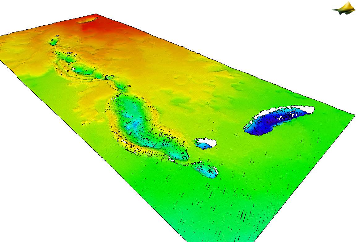
- Lidar Survey of Lava Tubes, Lava Beds National Monument, CA 2023
- Lidar Survey of a Partially Burned Mountain Watershed, CO 2023
- Lidar Survey of Deltaic Wetlands, LA 2023
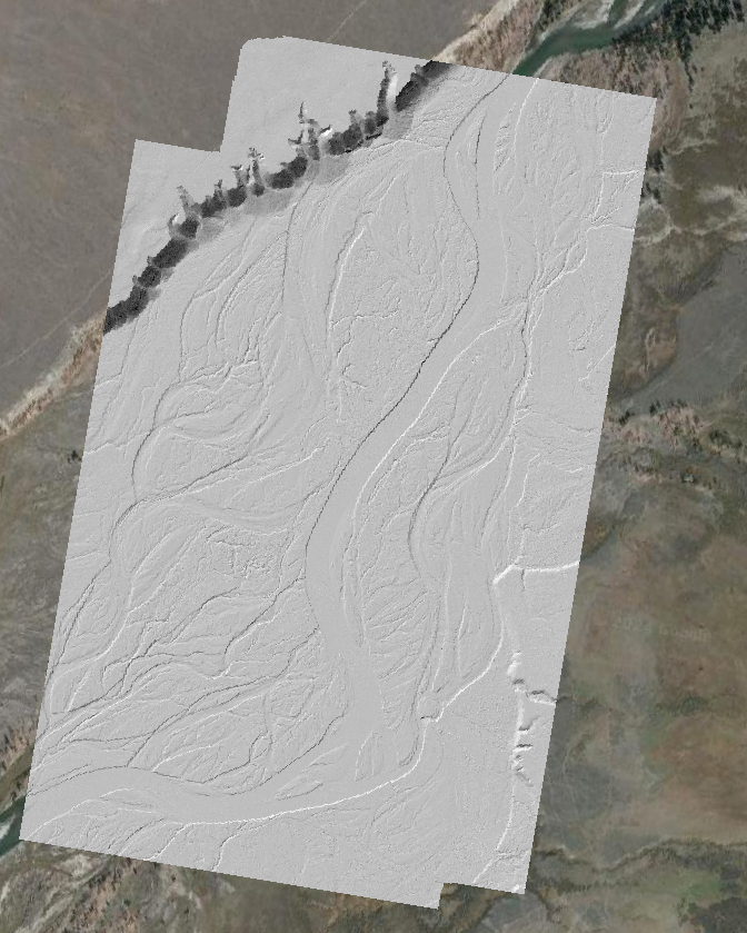
- Lidar Survey of the Snake River, WY 2012

Map showing location of new NCALM datasets.

3D point cloud colored by elevation of lava tubes in the Lava Beds National Monument in California (Dataset: Lidar Survey of Lava Tubes, CA 2023).

Hillshade of the Snake River floodplain. (Dataset: Lidar Survey of the Snake River, WY 2012).

3D point cloud colored by elevation of the Little Beaver Creek Valley in Colorado. (Dataset: Lidar Survey of a Partially Burned Mountain Watershed, CO 2023).
