Polar Geospatial Center’s ArcticDEM and REMA data now accessible via OpenTopography
This subscription provides access to lidar topography covering most of the US mainland, Hawaii, and territories as well as satellite data over the Arctic and Antarctic. This includes access to the USGS 3D Elevation Program (3DEP) and NOAA Coastal Lidar.
ArcticDEM and the Reference Elevation Model of Antarctica (REMA) are now accessible via OpenTopography with our value-added tools for access, processing, and visualization. The 32m and 10m resolution data products are open to all users, while processing and visualization of the 2m product is limited to academic users. ArcticDEM and REMA are National Geospatial-Intelligence Agency (NGA)-National Science Foundation (NSF) funded initiatives led by the Polar Geospatial Center (PGC) at the University of Minnesota to produce high-resolution, high-quality digital surface models (DSM) of the polar regions using optical stereo imagery, high-performance computing, and open-source photogrammetry software.
OpenTopography is distributing the ArcticDEM mosaics (version 4, released July 2023) assembled from all ArcticDEM strips and the REMA mosaics (version 2, released in October 2022) that are that are assembled from multiple REMA strips with the intention of providing a more consistent and comprehensive product over large areas. ArcticDEM and REMA are constructed from in-track and cross-track high-resolution (~0.4 meter for ArcticDEM and ~0.5 meter for REMA) imagery acquired by the Maxar constellation of optical imaging satellites.
To learn more about ArcticDEM and REMA, please visit the Polar Geospatial Center's ArcticDEM page, REMA page, and DEM Product Guide.
Find the data here:


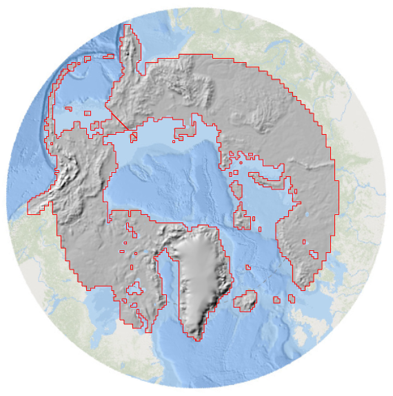
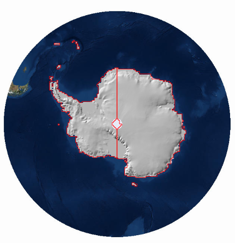
ArcticDEM (left) and REMA (right) coverage available on OpenTopography.

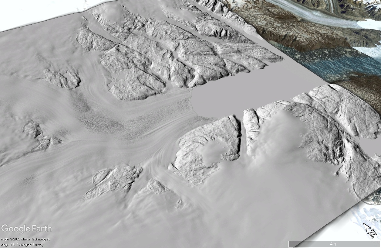
Hillshade of a digital surface model (DSM) of Helheim Glacier in Greenland overlain on Google Earth imagery.

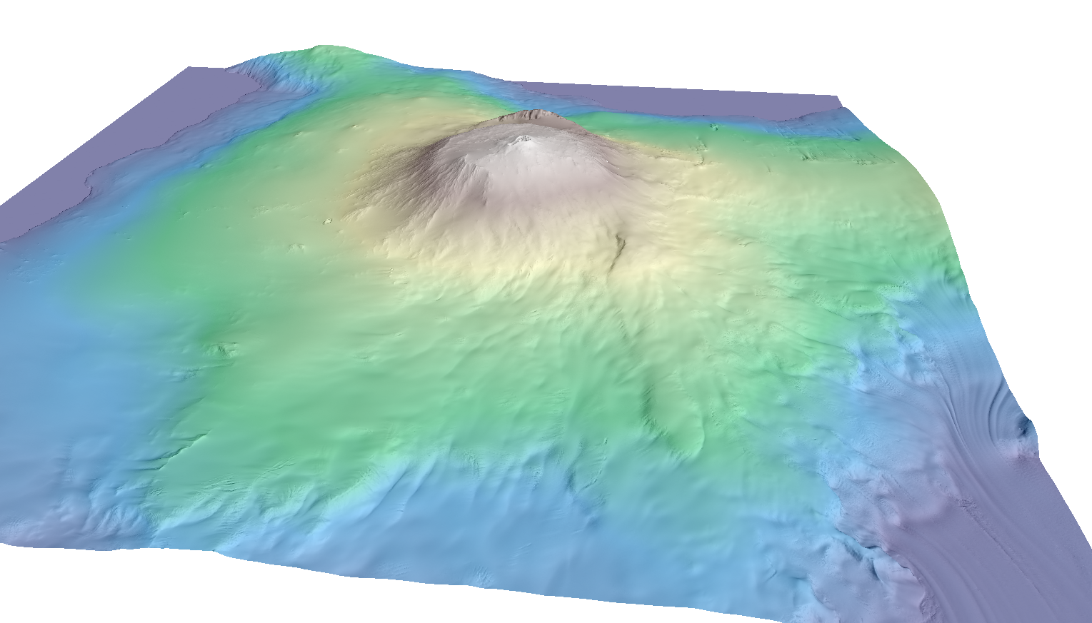
Hillshade of a DSM colored by elevation of Mount Erebus in Antarctica.

