Hawke's Bay, New Zealand LINZ dataset released
A new lidar dataset covering approximately 1,220 km2 of the Hawke's Bay region in New Zealand has been released on Open Topography. The survey area includes coverage of Napier, Hastings, Wairoa, Waipawa, Waipukurau, Māhia and the surrounding area. The lidar was captured for the five Hawke's Bay Councils (Wairoa District Council, Hastings District Council, Napier City Council, Central Hawke's Bay District Council, and Hawke's Bay Regional Council), with data management and distribution by Toitū Te Whenua Land Information New Zealand. This dataset is available through an ongoing collaboration between OpenTopography and LINZ that makes OpenTopography the primary distribution platform for point cloud data collected as part of the LINZ national elevation program.
For more information about this dataset and how it will be used, please see this Hawkes Bay Regional Council press release: Hawke's Bay 3D Maps To Inform Planning For A Climate-resilient Region.
Find the data here:

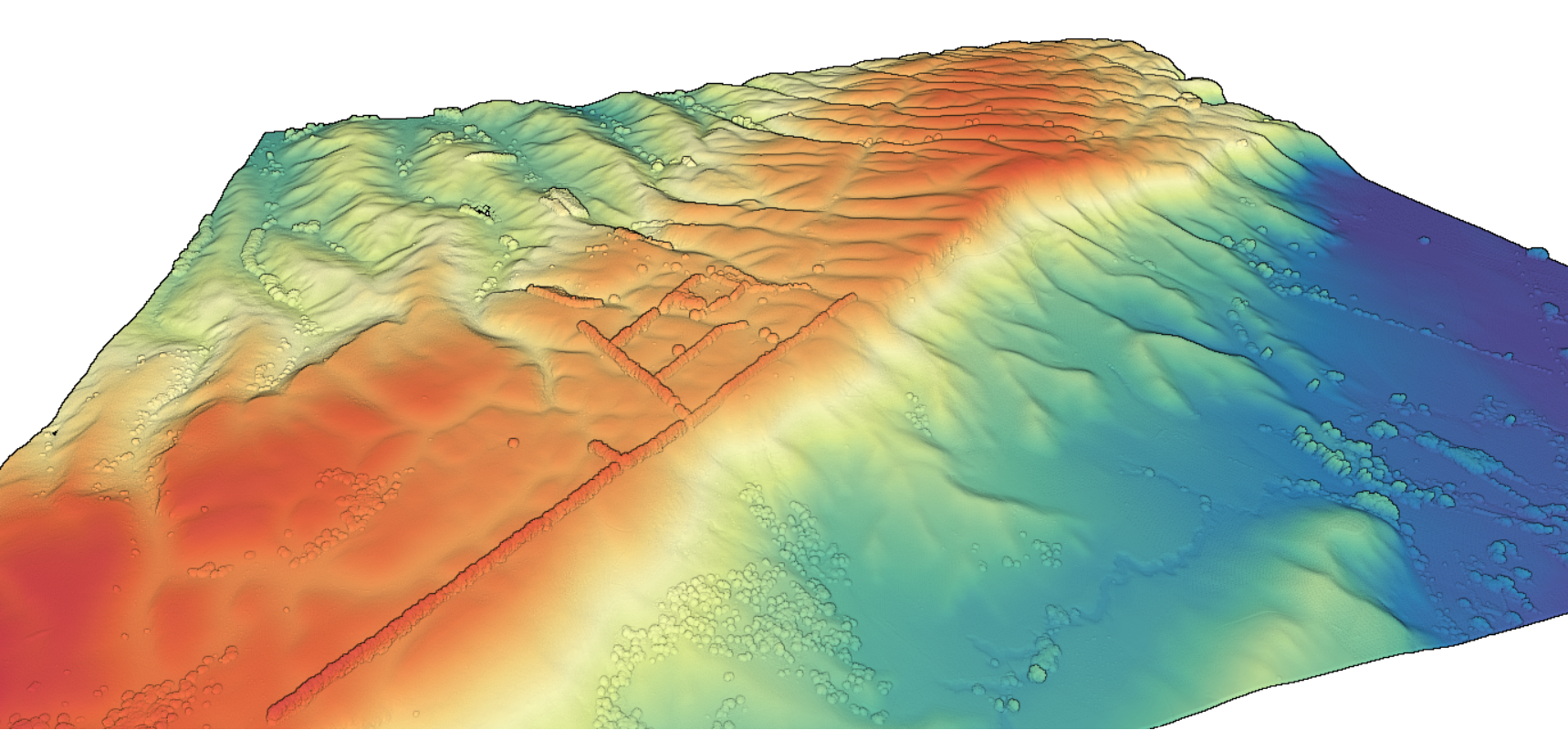
3D point cloud colored by elevation of the Hawke's Bay region

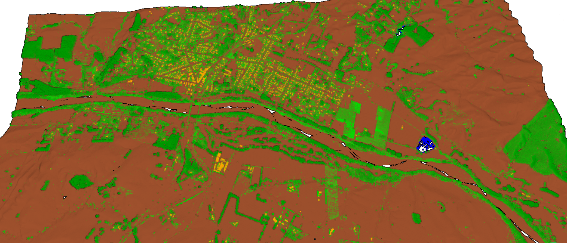
3D point cloud colored by return classification of the Hawke's Bay region. (Brown=ground, green=vegetation, orange=buildings, blue=water)
