LINZ dataset covering Queenstown, NZ now available
OpenTopography is pleased to announce the release of a new lidar dataset covering 166 square kilometers of Queenstown and Arrowtown on the South Island of New Zealand. The dataset, "Queenstown, Otago, New Zealand 2021" has an average point spacing of 7.8 pts/m2, and was funded by the Queenstown Lakes District Council , with data management by Toitū Te Whenua Land Information New Zealand (LINZ). This dataset is available through on ongoing collaboration between OpenTopography and LINZ, that makes OpenTopography the primary distribution platform for point cloud data collected as part of the LINZ national elevation program.
Get the latest 2021 data:
Overlapping dataset from 2016:

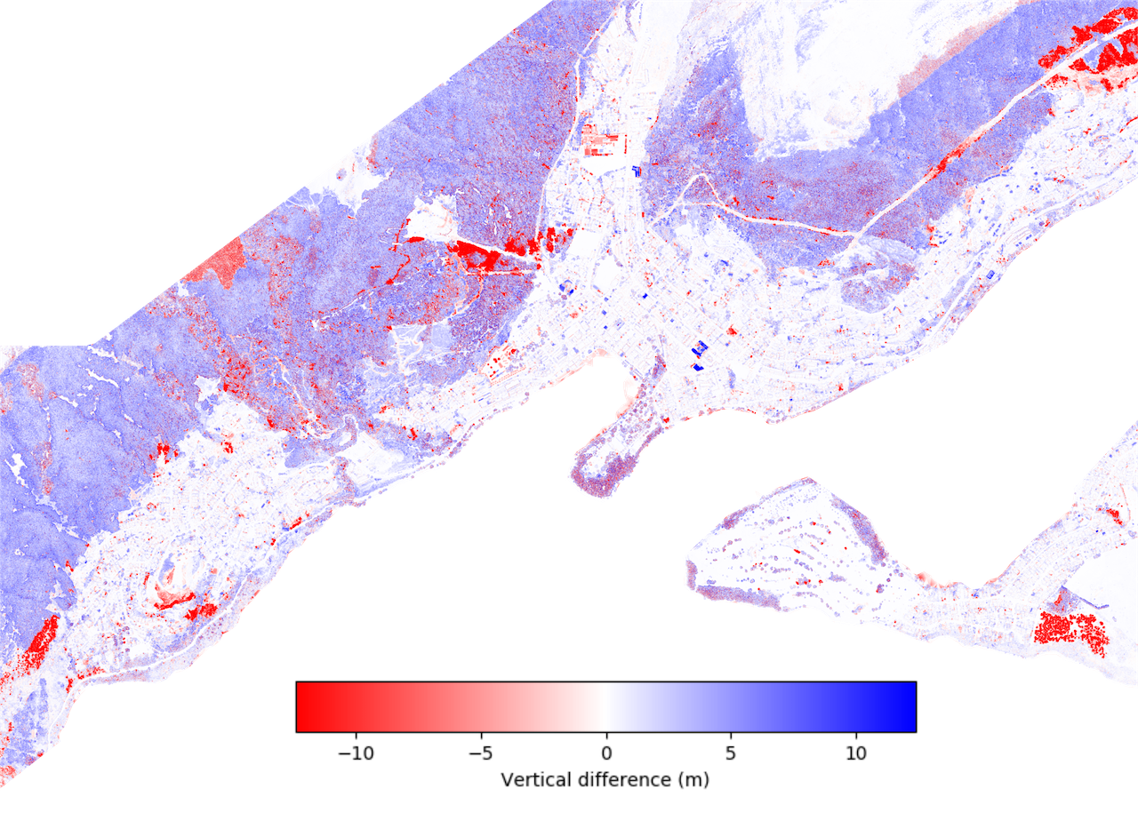
Map of elevation change between 2016 and 2021 over Queenstown and surrounding areas. Note the patterns of urbanization and forest growth over this time frame. 2016 coverage of this area is available here. This image was produced using OpenTopography's vertical differencing tool. This on-demand tool calculates the difference between DEMs generated from point clouds, and provides users with a quick and easy way of analyzing topographic change.
