New NCALM dataset in North Carolina
OpenTopography is pleased to announce the release of a new lidar dataset covering approximately 78 km2 near Hendersonville, North Carolina. This dataset was collected as part of an NCALM Seed grant for Dr. Corey Scheip at North Carolina State University to evaluate regional landslide area-volume scaling relationships after a large rainfall-triggered mass wasting event in western North Carolina. This project focused on how debris flows initiate, bulk, and deposit as a function of topographic variables. Data were collected by NCALM, an NSF-funded center that supports the use of airborne laser mapping technology (a.k.a. lidar) in the scientific community and is jointly operated by the Department of Civil & Environmental Engineering, Cullen College of Engineering, University of Houston and the Department of Earth and Planetary Science, University of California, Berkeley. OpenTopography is the primary distributor of NCALM data.
Get the data:
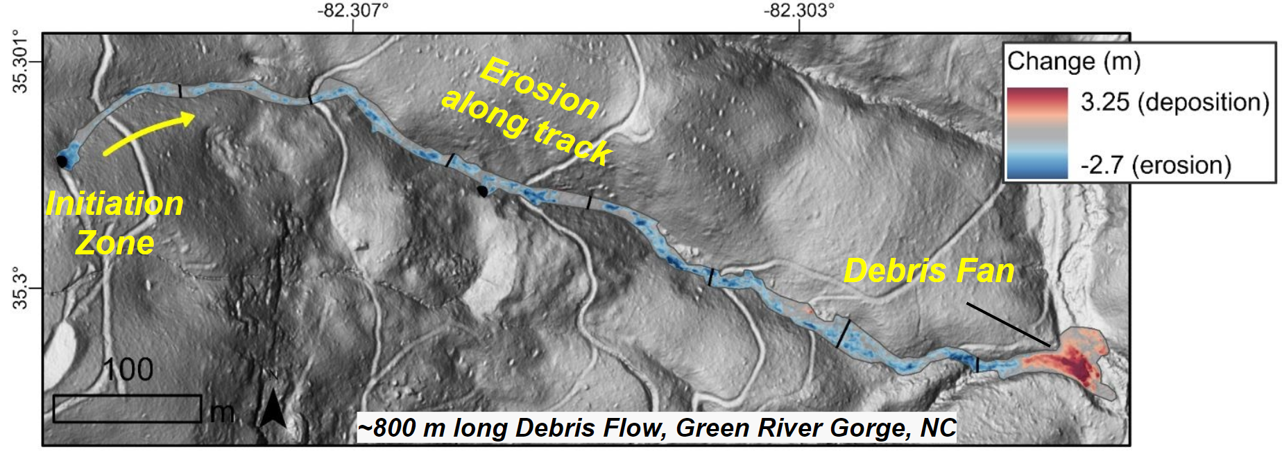
Image Credit: Dr. Corey Scheip. Change detection image from a ~800m long debris flow in the Green River Gorge section of the study area. The debris flows targeted were from May 18, 2018.

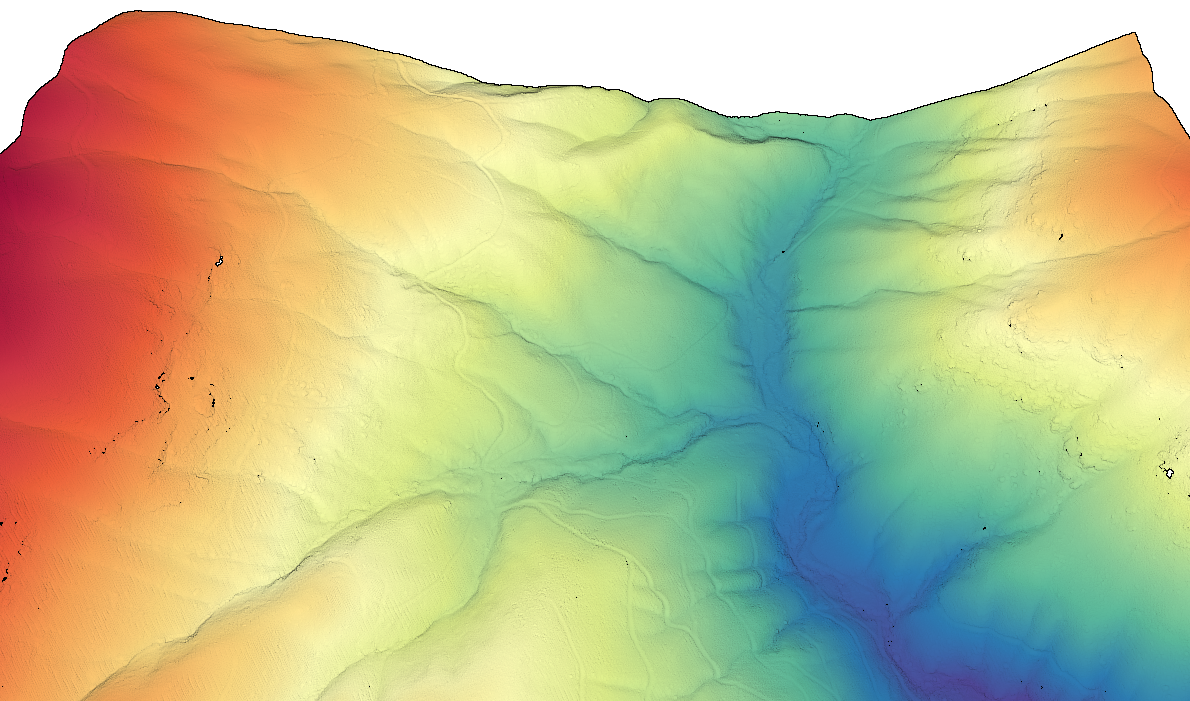
Section of Green River Gorge from figure above plotted as a 3D point cloud colored by elevation.

