Topographic Differencing Webinar
OpenTopography invites you to join us for a one hour live webinar on Monday January 11 at 2-3 EST/11-12 PST on topographic differencing. Learn about vertical and 3D topographic differencing and perform differencing on OpenTopography's web interface with one of 60 datasets pairs with differencing enabled.
Over the past two years, OpenTopography has released several on-demand differencing tools for performing change detection of multitemporal datasets. With these tools, users can measure landscape change from natural and anthropogenic processes including urban growth, vegetation change, river erosion, landslides, volcanic eruptions, earthquakes, and sand dune migration. Vertical differencing is the subtraction of digital elevation models. 3D differencing measures surface change by registering point clouds with a rigid deformation.
During the webinar, we will demonstrate the vertical and 3D differencing tools available to all users via OpenTopography’s web interface. Users will be invited to follow along and perform differencing with their favorite dataset. We will also discuss the methodology that we developed to streamline topographic differencing on the growing archive of topography datasets.
Webinar hosts: Chelsea Scott, Ramon Arrowsmith & Chris Crosby
The webinar is posted here:
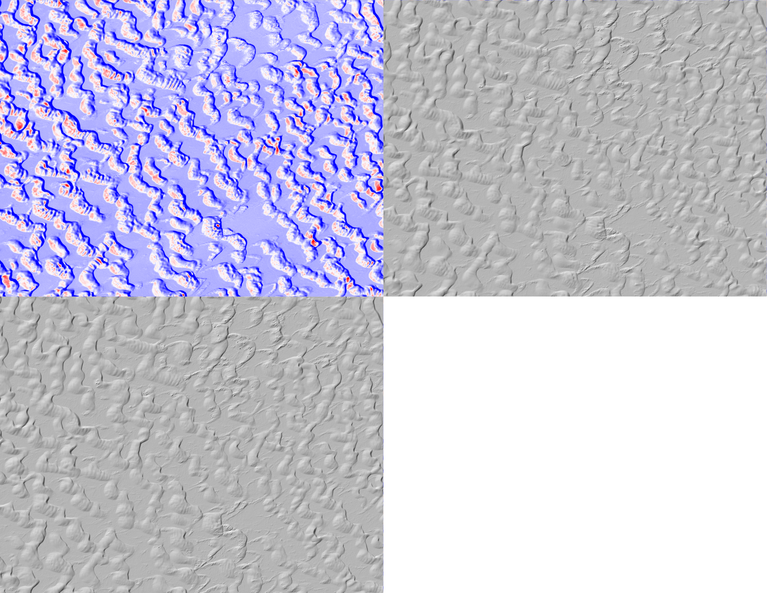
Sand dune migration at the White Sands National Monument, New Mexico. Difference is calculated between airborne lidar datasets collected in September 2009 and June 2010. Erosion or downward motion of the ground surface is colored in red. Deposition or upward movement is colored in blue. The dunes are migrating towards the north-east, driven by a dominant wind direction from the southwest.

