New Land Information New Zealand (LINZ) datasets covering Wellington and Banks Peninsula released
OpenTopography is pleased to announce the release of two new lidar datasets covering New Zealand's capital Wellington, as well as the Banks Peninsula. The dataset, "Wellington City, New Zealand 2019" has an average point spacing of over 20 pts/m2 and covers Wellington and its surrounding areas. The dataset, "Banks Peninsula, Canterbury, New Zealand 2018" was collected for Environment Canterbury Regional Council and covers the Banks Peninsula. These datasets are available through on ongoing collaboration between OpenTopography and Land Information New Zealand (LINZ), that makes OpenTopography the primary distribution platform for point cloud data collected as part of the LINZ national elevation program.
Get the data:

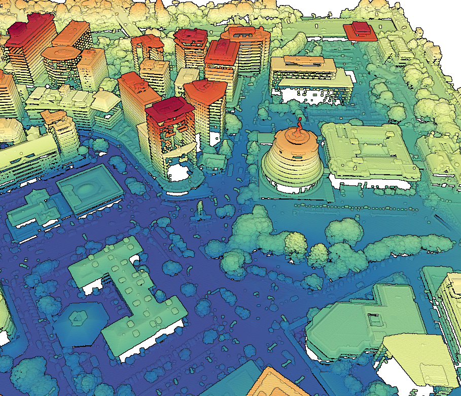
Wellington parliament buildings including the uniquely designed executive wing building often referred to as the "Beehive". See this video from LINZ for a fly through of Wellington point cloud data: https://youtu.be/kJnw_z6sgFc

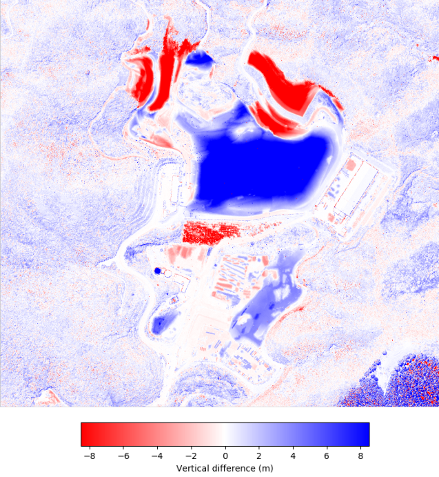
Vertical differencing of the landfill operations picture above. Difference calculated between 2013 and 2019 LINZ lidar datasets.

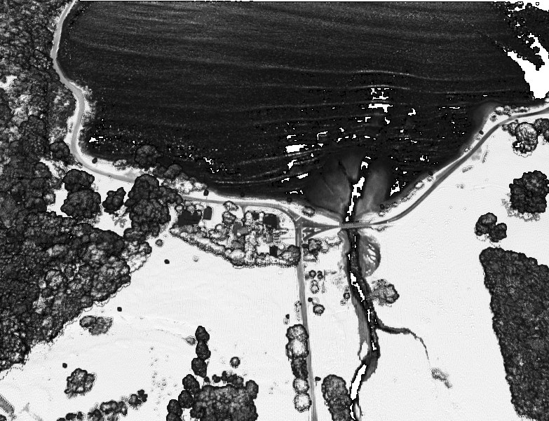
Plot of lidar intensity over Pigeon Bay, NZ.

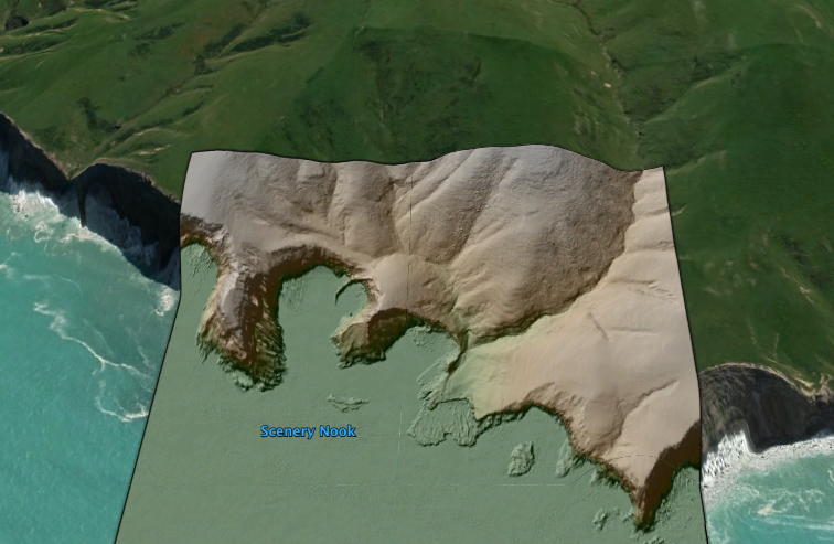
Hillshade of sea cliffs colored by elevation and draped on Google Earth imagery.
