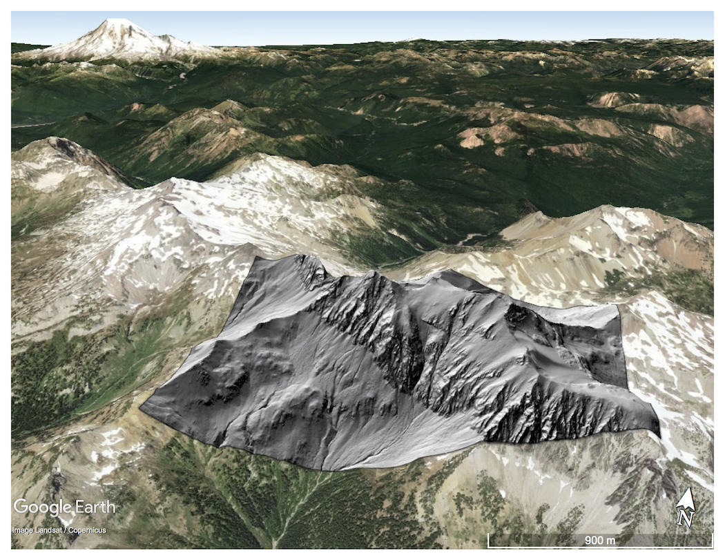
Six new NCALM datasets released from California, Idaho, Washington, and Mexico
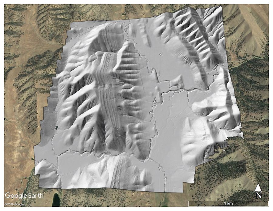
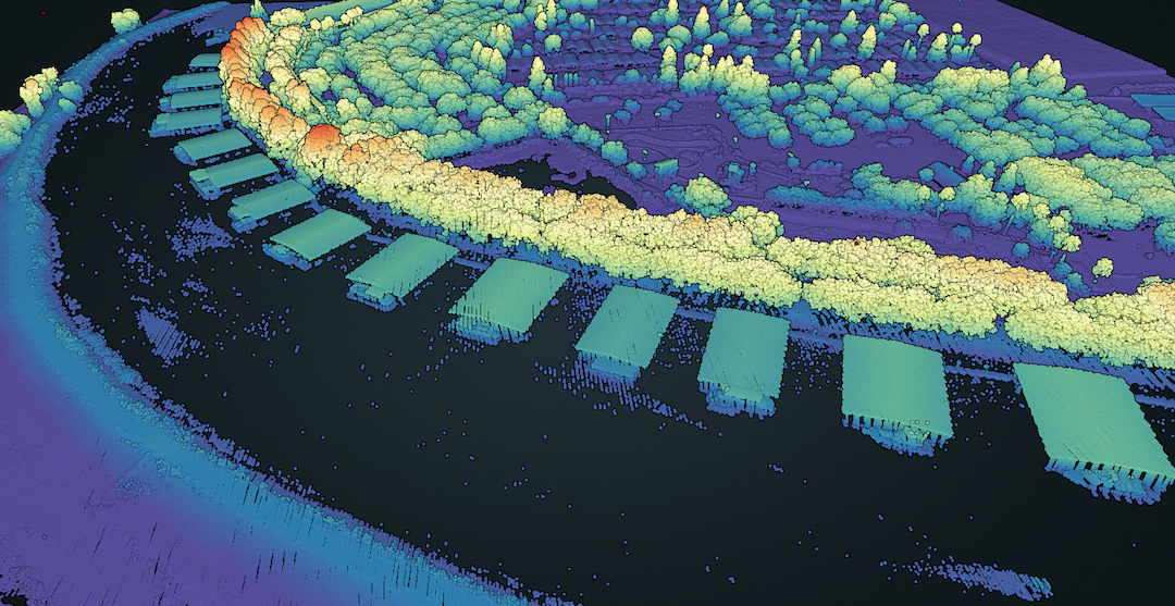
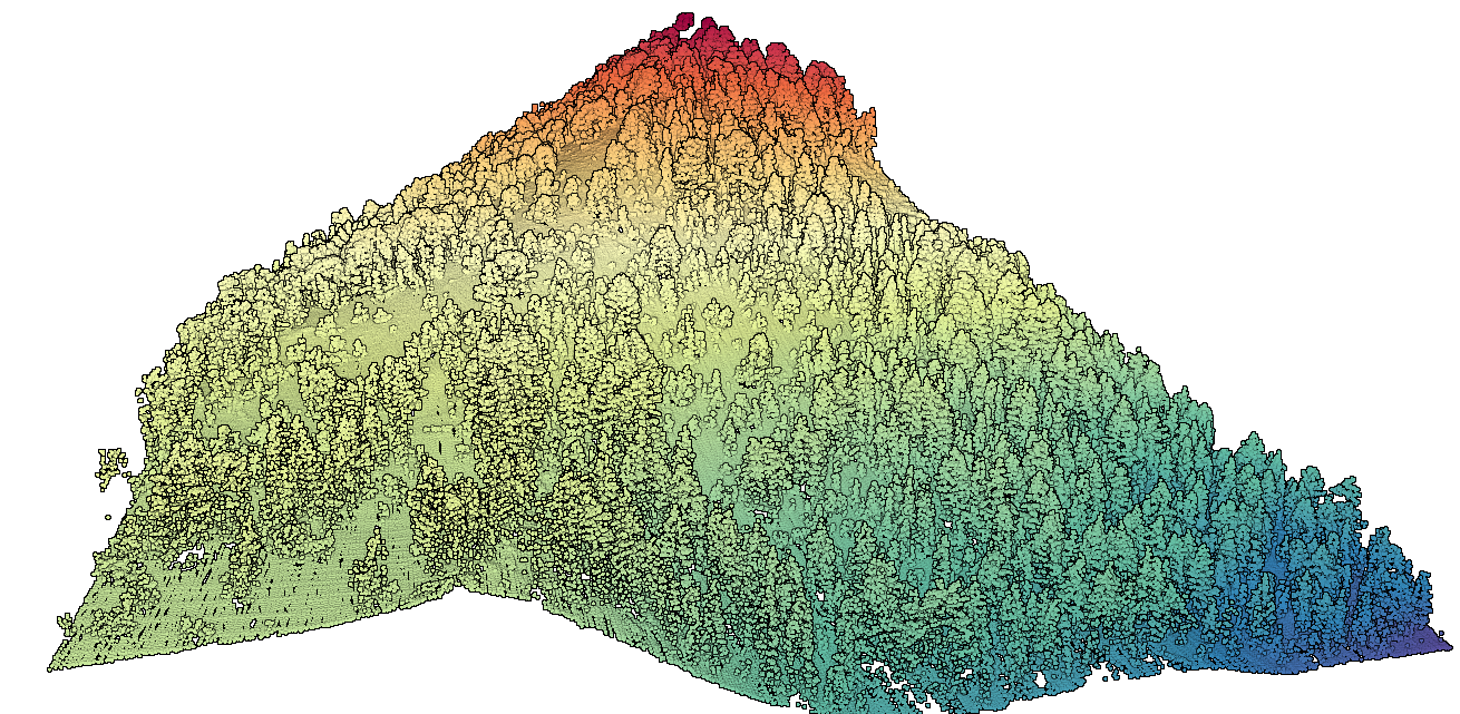
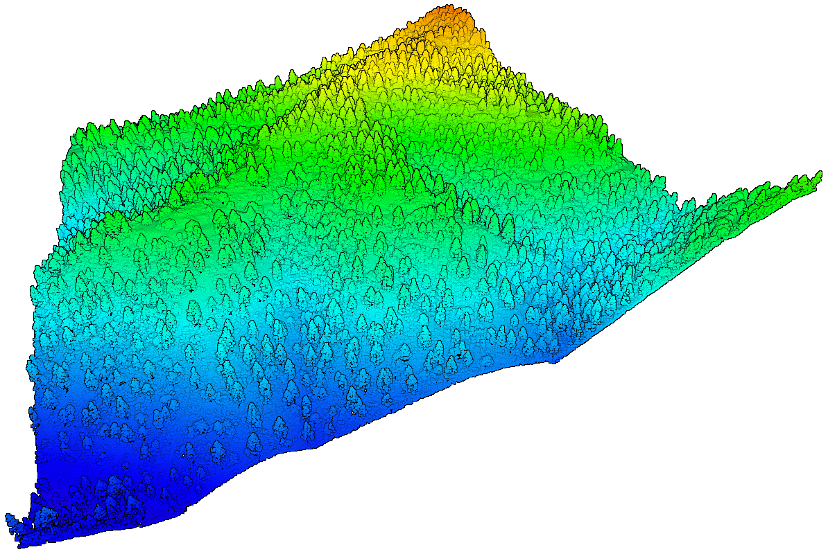
OpenTopography is pleased to announce the release of six new datasets covering areas of California, Idaho, Washington, and Mexico. Four of the six datasets were collected as part of NCALM's seed grant program. NCALM is an NSF-funded center that supports the use of airborne laser mapping technology (a.k.a. lidar) in the scientific community and is jointly operated by the Department of Civil & Environmental Engineering, Cullen College of Engineering, University of Houston and the Department of Earth and Planetary Science, University of California, Berkeley. OpenTopography is the primary distributor of NCALM data.
Get the data:

