LINZ tutorial: From points to pixels — creating digital elevation models from OpenTopography point clouds
Jun 17, 2019
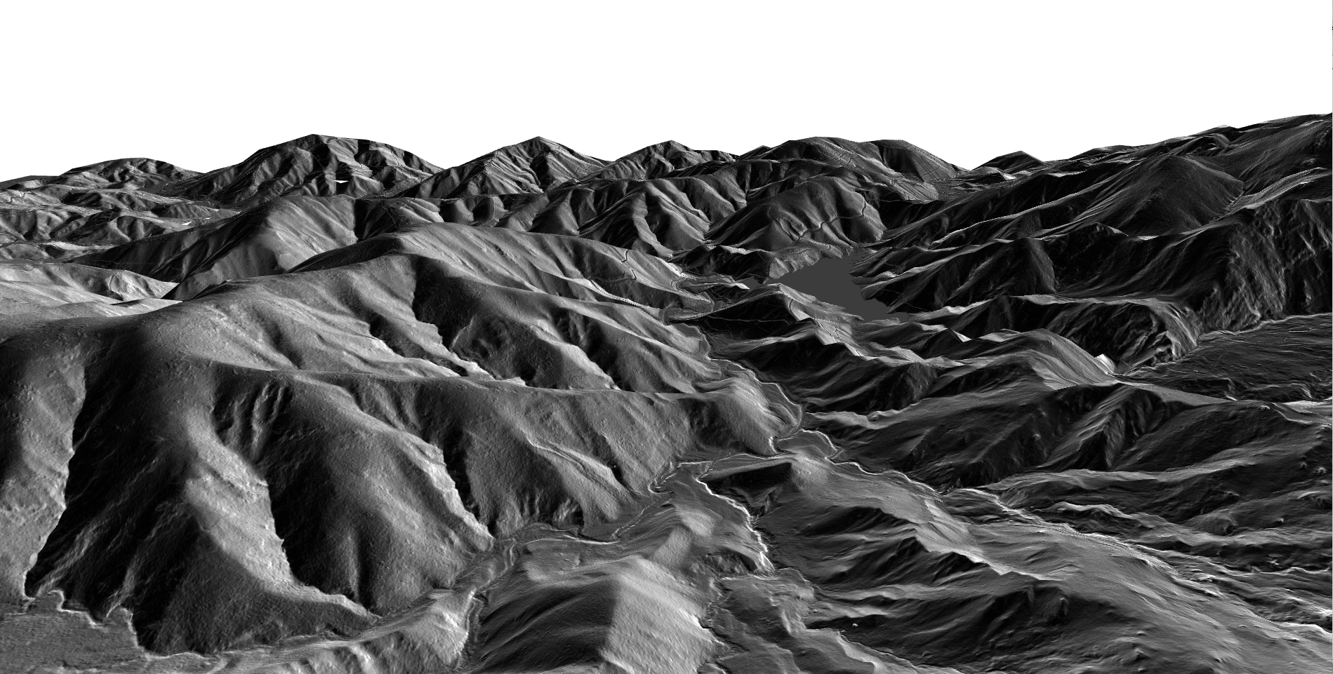
OpenTopography is collaborating with Land Information New Zealand to make 3D point cloud lidar data in New Zealand available for download, processing, and visualization. LIdar-derived DEM and DSM raster products are available for download via the LINZ Data Service. LINZ recently published another nice tutorial on how to use OpenTopography tools to produce custom raster terrain products (i.e., DEMs, DTMs, and DSMs) from LINZ point cloud data.
For the full tutorial please visit this post:
From points to pixels — creating digital elevation models from OpenTopography point clouds
 (image credit = LINZ Data Service)
