Resources for Students
This page provides links to resources related to using lidar topography and OpenTopography for students at the undergraduate and graduate level. Other resources are highlighted on the resources for educators and resources for researchers, which we encourage users to explore. To learn more about using OpenTopography or lidar data, please visit the Getting Started page. OpenTopography is always looking to connect with students using lidar data in their studies or research. If you have any questions, visit our Frequently Asked Questions (FAQ) or email us at info@opentopography.org.

OpenTopography sticker distributed during short courses and professional meetings.
Student Opportunities
NCALM Seed Grants
Many datasets available on OpenTopography were collected for graduate students via the National Center for Airborne Laser Mapping's (NCALM) Seed program. Each year, NCALM surveys up to ten projects (generally covering ~40 square kilometers) for graduate student PIs who need Airborne Laser Swath Mapping (ALSM) data. For more information about the program and how to submit a proposal, visit NCALM's Seed Program.
Short Courses
OpenTopography and its affiliates occasionally have short courses designed for students who are interested in applying LiDAR data to their studies and reserach. For updates, subscribe to OpenTopography's News and Blog feeds (RSS: News | Blog), as well as on our Twitter and Facebook accounts. All materials from previously held courses are available on the workshops page.
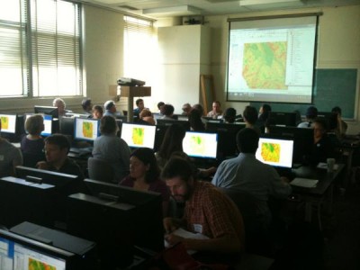
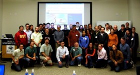
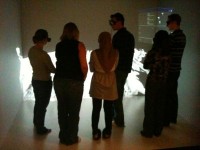
Images from previously held OpenTopography short courses.
Internship Opportunities
- SCEC Summer Undergraduate Research Experience (SCEC/SURE) : The Southern California Earthquake Center/Summer Undergraduate Research Experience (SCEC/SURE) pairs a students with a preeminent earthquake scientist or specialist to conduct research.
- SCEC Undergraduate Studies in Earthquake Information Technology (SCEC/USEIT): SCEC/UseIT interns work on multi-disciplinary, collaborative teams to tackle a scientific "Grand Challenge" posed by SCEC director Dr. Thomas Jordan.
- IRIS Internships: 8 to 10 weeks working on a seismological research project with researchers at an IRIS member intuition.
- Keck Geology Consortium Internships: The Keck Geology Consortium is focused on enriching undergraduate education through high-quality research experiences.
- Research Experiences in Solid Earth Sciences for Students (RESESS): RESESS is a summer internship program dedicated to increasing the diversity of students entering the geosciences. The goal of the RESESS Internship program is to increase the number of students from minority groups that are underrepresented in the geosciences relative to their proportions in the general population.
Applications of Lidar Data
As a critical component to many studies in the Earth sciences, learning about lidar data is an important pursuit for students. The spatial nature of lidar data and data products can help students learn and understand the Earth's surface. Below is a collection of materials aimed to help students understand and explore lidar data, data products and related tools.
OpenLandform Catalog
The OpenTopography OpenLandform Catalog serves as a resource to explore geologic landforms in high resolution digital topography for teachers, students or any interested user. This resource brings real world cutting edge digital topographic data to an accessible level that can be interrogated and explored using free tools, such as Google Earth.
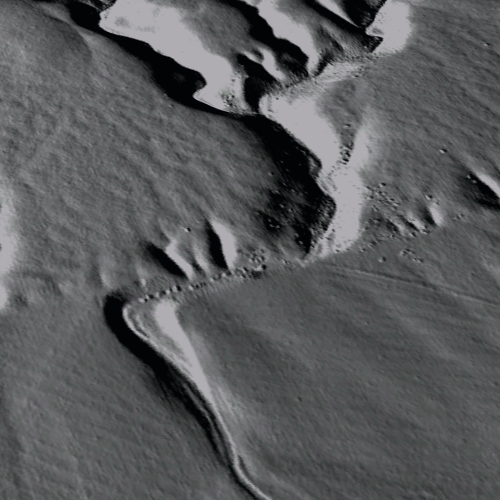
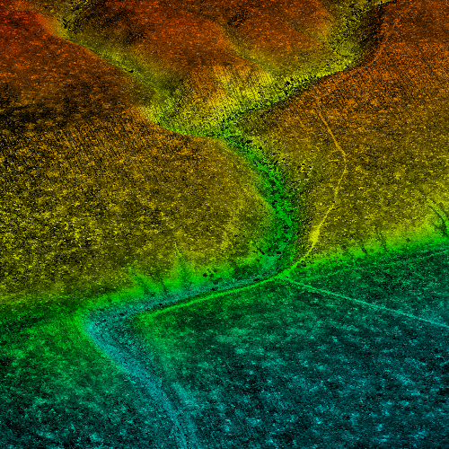
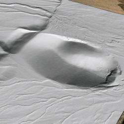
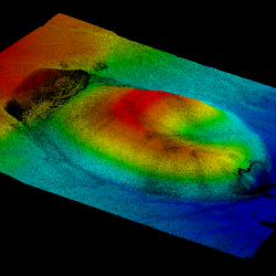
(left to right) Wallace Creek hillshade image, point cloud image, and Fish Springs Cinder Cone hillshade image, point cloud image.
