Report from the Workshop on Studying Earth Surface Processes with High-Resolution Topographic Data
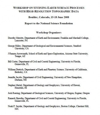
The National Center for Airborne Laser Mapping (NCALM) has released the report from the workshop organized by their steering committee last summer (June 15-18, 2008) in Boulder, CO on Studying Earth Surface Processes with High-Resolution Topographic Data. The workshop, attended by 50 researchers, provided an opportunity for discussion of current research activities utilizing LiDAR as well as to identify emerging research opportunities, community challenges, and technological and education needs.
This report, prepared by members of the NCALM steering committee with contributions from participants at the WSESP, highlights key scientific opportunities presented at the workshop, and identifies some of the challenges for maximizing the scientific potential of research with high-resolution topographic data. During the final day of the workshop, participants identified key areas emerging in this field, new ways to detect and characterize processes, and approaches to detect changes in dynamic systems. Three areas that attracted particular attention were 1) the connections between ecosystems and topography, 2) the flux of water, sediment, and other substances down hill slopes and through drainage networks, and 3) the use of repeat LiDAR surveys to study landscape change in response to geological and biological disturbances (e.g., earthquakes, fires, dam breaching, and timber harvest).
OpenTopography was represented at the workshop by Ramon Arrowsmith and I. It was quite apparent during the workshop that there is a need in the Earth science LiDAR community for better access to datasets as well as a centralized repository for sharing software and tools.
The rapid emergence of new technology, datasets, and ideas poses challenges as well as opportunities for the Earth science community. Foremost among the challenges are the needs to 1) better facilitate sharing of public-domain LiDAR databases and tools for analysis and visualization, and 2) maximize dissemination of new ideas and discoveries.
The workshop attendees appreciated the need for a system such as the OpenTopography Portal and the report nicely articulates this need in sections III. Software, Tools, Tutorials, and Education and IV. Improvements in Gathering and Disseminating High-Resolution Topographic Data
I have posted the full Workshop report in the Documents portion of the OpenTopography Portal (under Resources). Directly download the report (PDF) HERE

