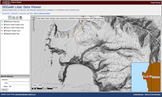
Oregon LiDAR Viewer
A few weeks ago I wrote a post on the release of Oregon's LiDAR Data and Map Series. Now, Ian Madin at DOGAMI reports that they have released a new LiDAR data viewer to allow the general public to easily view the data and for GIS users to preview the data before purchasing it.
The new Orgeon LiDAR viewer can be accessed here:
http://www.oregongeology.org/sub/lidardataviewer/index.htm
The viewer allows users to see hillshade and slopeshade images and contours derived from lidar collected by DOGAMI with Oregon Lidar Consortium funding. The viewer currently has data from three surveys, and more will be added as new data is finalized. The intent of the viewer is to allow the general public to see the data without the need for GIS software, and to allow GIS users to preview the data that they may then obtain through our LDG publication series.
Here is a quick screen capture of the viewer:

