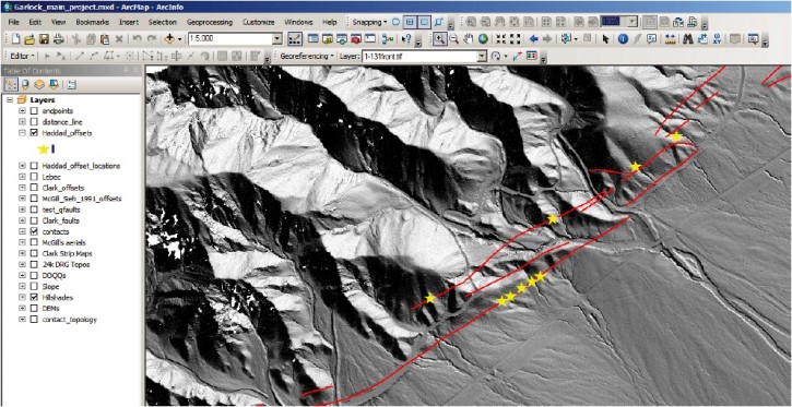
Measuring Earthquake-Generated Surface Offsets from Lidar
David Haddad, a PhD student at Arizona State University and one of the most frequent users of OpenTopography, recently sent along a PDF document that he has prepared on his recent work using lidar data accessed via OT to constrain meter-scale offsets along strike-slip faults in southern California. David's document provides an overview of the workflow involved in calculating surface slip offsets using LiDAR-derived DEMs and is a nice tutorial on how to access data from OT. An introduction to the document provided by David:
High-resolution digital topographic data products such as LiDAR-derived digital elevation models (DEMs) provide unprecedented insights into the geomorphic response of earthquake-generated surface deformation. By measuring meter-scale offsets of geologic and geomorphic markers, we can understand the surface slip history associated with recent earthquake ruptures, their spatiotemporal distributions, magnitudes, and recurrences. Surface offsets also facilitate physical constraints on surface slip distributions, thus providing physical guides to earthquake forecast models such as the Working Group on California Earthquake Probabilities' (WGCEP) Uniform California Earthquake Rupture Forecasts (UCERF).
In collaboration with the University of Oregon's Neotectonics lab, the Arizona State University active tectonics, quantitative structural geology, and geomorphology lab is building a database of surface offsets measured using LiDAR datasets, among other data. The goal of this database is to (1) assess how surface offset measurement techniques compare with each other, (2) collect most recent event (MRE) data and the "best" slip rate estimates in a manner that makes them accessible to the scientific and engineering communities via web-based products (e.g., Google Earth kmls), and (3) build a comprehensive understanding of "what's out there" as far as what data are available (and what are not) to help construct geologically sound fault, deformation, and earthquake forecast models.

