LiDAR and Raster Datasets Covering 1,500 sq. km. of the CA Central Coast Now Available
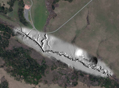
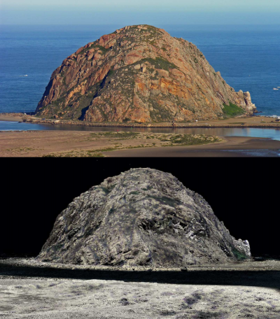
OpenTopography is pleased to announce the release of point cloud and raster data supporting ongoing seismic hazard research surrounding the Diablo Canyon Power Plant, Central Coast California. The datasets were provided by Pacific Gas & Electric Company (PG&E) and are comprised of three separate surveys: Diablo Canyon (2010), Los Osos (2011), and San Simeon (2013). The datasets were acquired by Watershed Sciences, Inc. (WSI) as part of the Diablo Canyon Power Plant (DCPP) Long Term Seismic Program (LTSP). Watershed Sciences, Inc. (WSI) collected Light Detection and Ranging (LiDAR) data for all three areas and orthophotography for two. These datasets cover an area of 1,534 square kilometers and have point densities of at least >8 points per square meter. The datasets are made available through a service agreement between OpenTopography and Watershed Sciences, Inc.
PG&E Diablo Canyon Power Plant (DCPP): Diablo Canyon, CA Central Coast
PG&E Diablo Canyon Power Plant (DCPP): Los Osos, CA Central Coast
PG&E Diablo Canyon Power Plant (DCPP): San Simeon and Cambria, CA
 |

|
