SRTM Version 3.0 Global (90m) and United States (30m) Elevation Data Now Available
The Shuttle Radar Topography Mission (SRTM) obtained 90 meter (3 arc-second) resolution data on a near-global scale (between 56 degrees South and 60 degrees North latitude) and 30 meter (1 arc-second) resolution over United States, providing a valuable global topographic dataset. The SRTM data were collected during an 11-day mission in February of 2000 from a radar system onboard the Space Shuttle Endeavor. The SRTM project was led by the National Geospatial-Intelligence Agency (NGA) and NASA.
OpenTopography is now hosting version 3.0 (SRTM Plus) of the SRTM dataset released in November 2013. The primary goal of version 3.0 was elimination of voids in the NASA SRTM DEM. This was achieved by filling the voids with elevation data primarily from the ASTER GDEM2 (Global Digital Elevation Model Version 2) and secondarily from the USGS GMTED2010 elevation model or the USGS National Elevation Dataset (NED). SRTM version 3.0 was produced under the NASA MEaSUREs (Making Earth System Data Records for Use in Research Environments) Program
The SRTM version 3.0 datasets can be accessed from the dedicated OpenTopography landing page below, or added to queries of other raster datasets hosted by OpenTopography. As with all other raster data products delivered by OpenTopography, SRTM data can be downloaded seamlessly for a user defined area of interest in GeoTIFF, Erdas Imagine .IMG, or Arc ASCII grid formats.

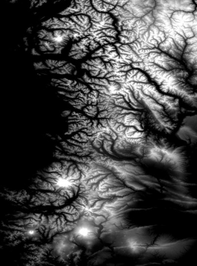
Raster image of the Cascade Mountains covering Oregon and Washington State.
