Updated LINZ data over the South Island, New Zealand
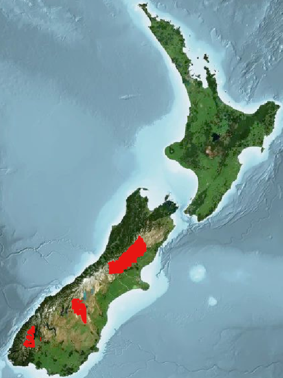
Updated Land Information New Zealand (LINZ) datasets covering portions of the South Island are now available through OpenTopography. The dataset, "Canterbury, New Zealand 2020-2023" and "Southland, New Zealand 2020-2024" have each had addendums added to their respective collections. These datasets are available through an ongoing collaboration between OpenTopography and LINZ as part of the LINZ National Elevation Program. These addendums collectively add over 12,000 km2 of high resolution topographic data over the South Island of New Zealand (see areas in red on map below).
Find the data here:

Spatial coverage of additional regions of LINZ datasets highlighted in red.

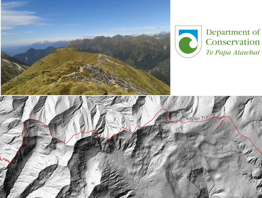
Data from the Southland, New Zealand 2020-2024 addendum covers portions of the Kepler Track, one of New Zealand's Great Walks. Trail path is plotted in red on a Digital Terrain Model (DTM) hillshade of the ridgeline.

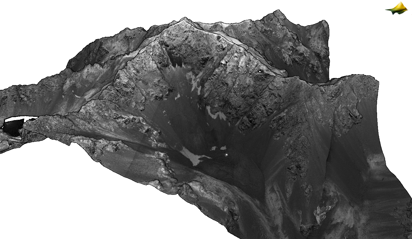
3D point cloud colored by intensity over the Ahuriri Conservation Park. From the dataset: Canterbury, New Zealand 2020-2023
