Updated Copernicus Global 30m DEM Now Available
 The most recent version of the Copernicus Digital Surface Model (DSM) is now available via OpenTopography. As of July 23rd 2024, OpenTopography is supplying the DGED 2023_1 version of the European Space Agency (ESA) Copernicus GLO-30 and GLO-90 DSMs. The Copernicus datasets are derived from the WorldDEM which was generated from radar satellite data acquired during the TanDEM-X Mission. This dataset is a DSM, therefore elevation measurements represent the surface of the Earth including buildings, infrastructure and vegetation. The OpenTopography portal provides easy GUI-based access, as well as a suite of processing and analysis tools to help quickly utilize this important dataset. In addition, this dataset is also available via the OpenTopography Global Datasets API and via cloud-based bulk storage as Cloud Optimized GeoTIFFs (COGs).
This latest version of the Copernicus dataset has some important updates, including:
- Infilling with high resolution DEM over Norway and Spanish Pyrenees
- Release of the previously restricted countries: Armenia, Azerbaijan and Moldova
- Improvement of infilling algorithm
- Addition of 5 geocells containing missing small islands
- Editing of source raw data
- Correction of implausible values
Get the Data:

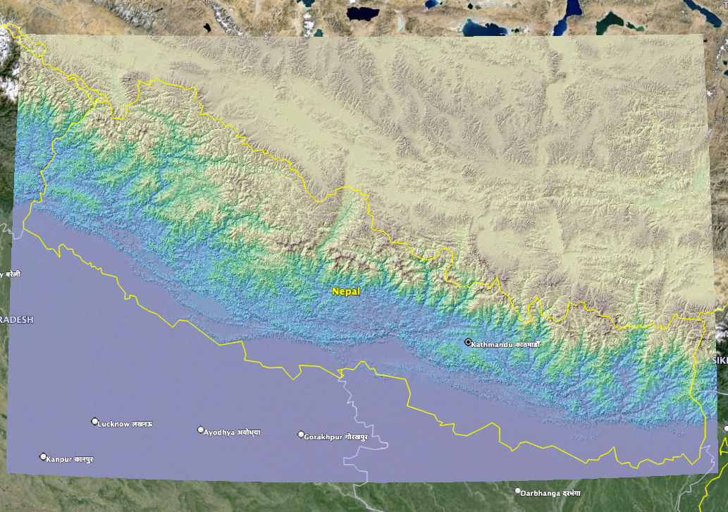
Copernicus Digital Surface Model colored by elevation of Nepal draped on Google Earth imagery

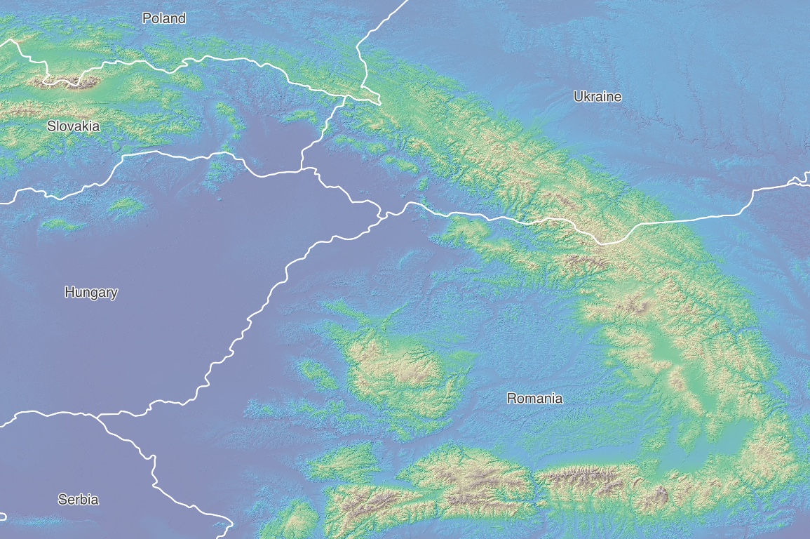
Copernicus Digital Surface Model colored by elevation of the Carpathian Mountains
Accessing Copernicus DEMs via OpenTopography's Global Datasets API
The Copernicus data set is also available through OpenTopography's Global Dataset API. API keys for personal use are available with a free OpenTopography account here. Enterprise API keys for higher rate limits of data access and for integration into software are available by emailing info@opentopography.org
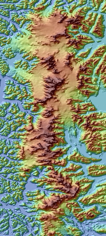
Below is an example http request that subsets the Copernicus dataset over Patagonia in Chile:
https://portal.opentopography.org/API/globaldem?demtype=COP90&south=-51.25&north=-48.25&west=-74.15&east=-72.75&outputFormat=GTiff&API_Key=yourAPIKeyHere

