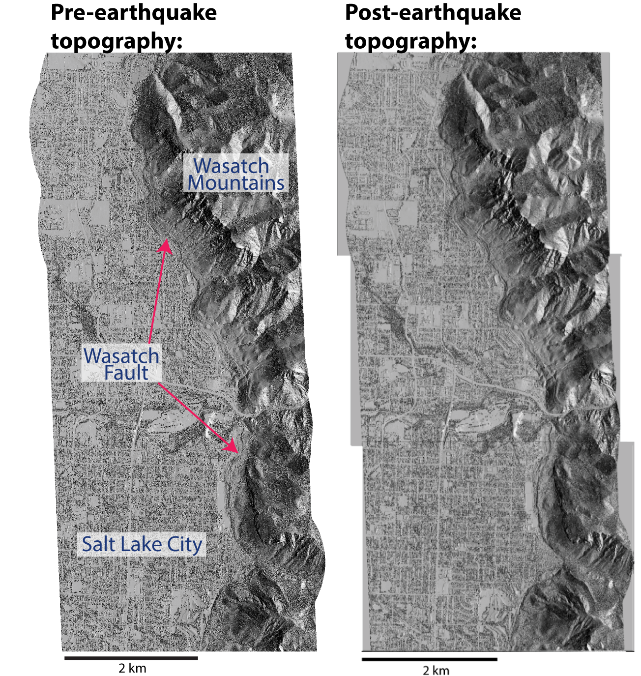
Undergraduate Topographic Differencing Exercise
After a big earthquake happens people ask, ‘Where did the earthquake occur? How big was it? What type of fault was activated.’ We have designed an undergraduate laboratory exercise where students learn how geologists and geodesists use airborne lidar topography data to answer these questions for a synthetic earthquake along the Wasatch Fault in Salt Lake City, Utah. Students use high resolution topography data to measure how much and in what direction the ground moved during the earthquake. They explore classical faulting relationships by estimating the earthquake magnitude and determining the type of fault activated (e.g., normal, reverse, strike-slip). In addition, students learn about the hazard and scientific response required for large surface rupturing earthquakes and are exposed to cutting-edge technology for working with topography data. All lab material is available here: https://opentopography.org/learn/ugrad_differencing

