Three new Southern California datasets and Reynolds Creek Critical Zone Observatory Idaho lidar
OpenTopography is pleased to announce the release of four new datasets collected by the National Center for Airborne Lidar Mapping (NCALM). Three of the datasets were collected as part of NCALM's seed grant program, the fourth was supported by the NSF Critical Zone Observatory program. NCALM is an NSF-funded center that supports the use of airborne laser mapping technology (a.k.a. lidar) in the scientific community and is jointly operated by the Department of Civil & Environmental Engineering, Cullen College of Engineering, University of Houston and the Department of Earth and Planetary Science, University of California, Berkeley. OpenTopography is the primary distribution pathway for NCALM data.

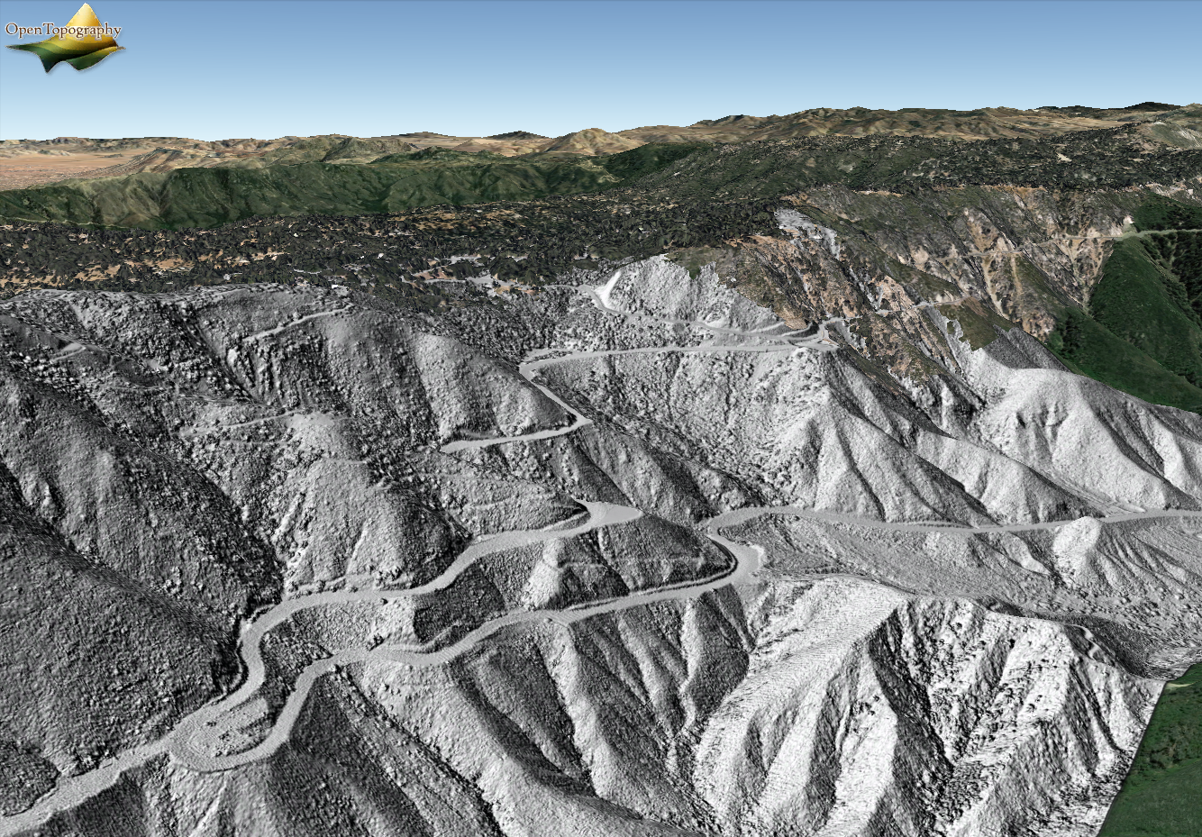
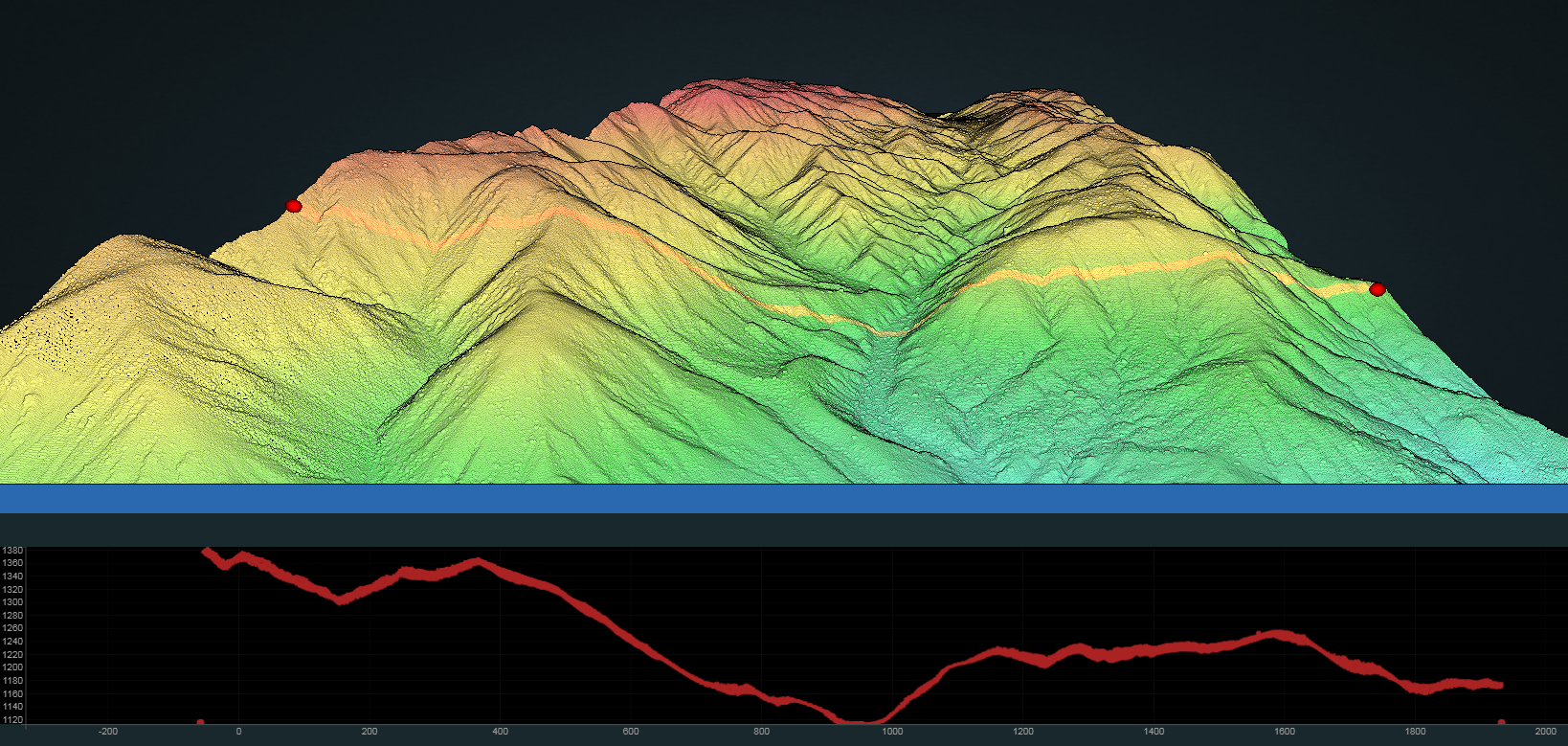
Image, left, is a point cloud visualization and profile, colored by elevation, of a portion of the Eastern Transverse Ranges in Joshua Tree National Park, California. The image was made using OT's new browser-based 3D visualization tool that enables users to view their point cloud data from various angles and to select a number of visualization options. The right image shows a Digital Surface Model (DSM) grayscale hillshade KML draped over the surface of Google Earth from the Topographic stress controls, San Bernardino Mountains, CA 2017 dataset.

