Three new NCALM datasets released from California, and Utah now available
OpenTopography is pleased to announce the release of three new NCALM SEED datasets covering areas of California, and Mexico. These datasets were collected by NCALM, an NSF-funded center that supports the use of airborne laser mapping technology (a.k.a. lidar) in the scientific community and is jointly operated by the Department of Civil & Environmental Engineering, Cullen College of Engineering, University of Houston and the Department of Earth and Planetary Science, University of California, Berkeley. OpenTopography is the primary distributor of NCALM data.
Get the data:
- Normal Fault Comparisons, Utah 2019
- Lassen Volcanic National Park, CA 2019
- Study in Erosion Response: Horse Linto, CA 2019

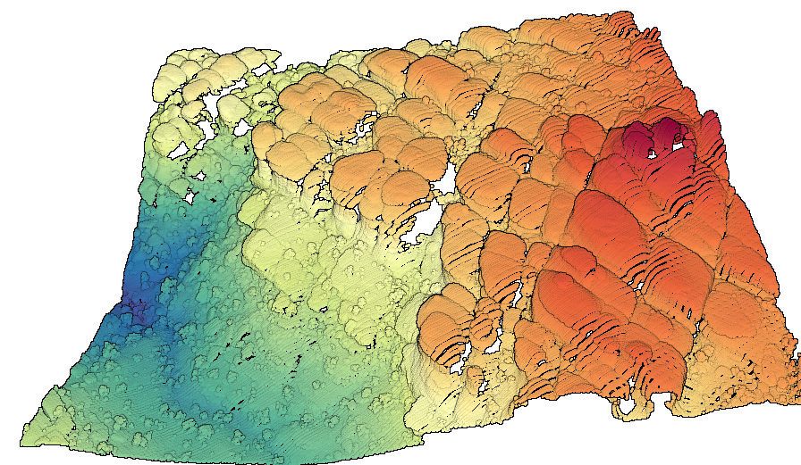
3D point cloud of a rock formations with points colored by elevation in The Grabens area of the Needles District of Canyonlands National Park from dataset: Normal Fault Comparisons, Utah 2019.

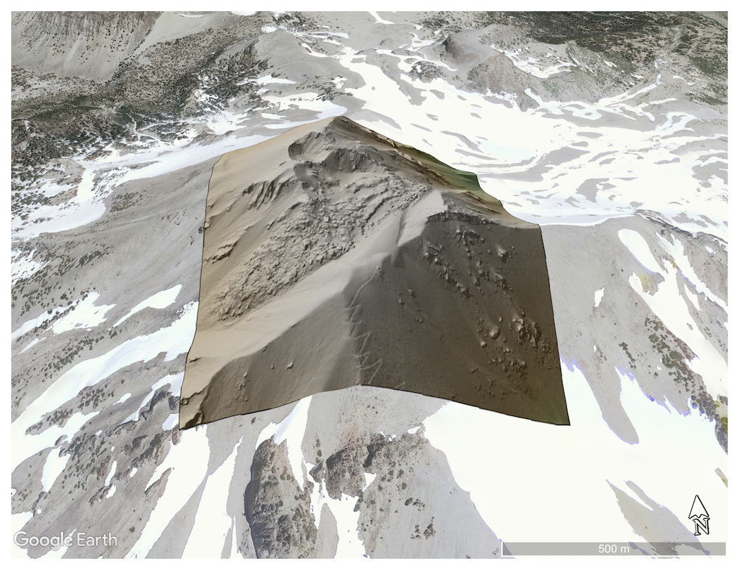
Digital Terrain Model (DTM) of Lassen Peak draped over Google Earth imagery. Switchbacks of trail to summit can be seen in the foreground.
Data Source: Lassen Volcanic National Park, CA 2019

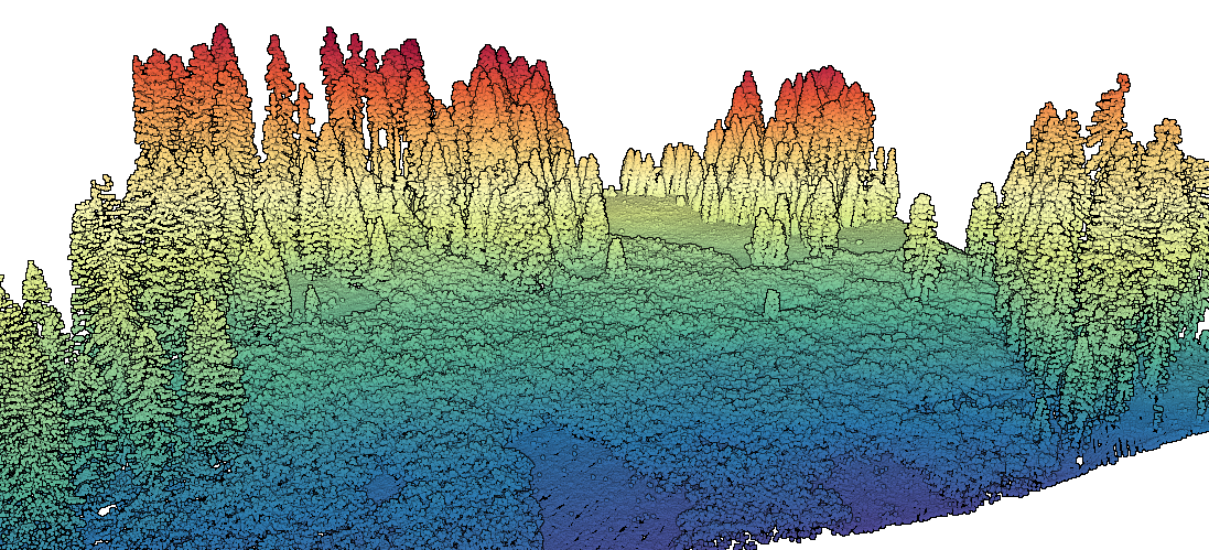
3D point cloud of a forested meadow with points colored by elevation. Data Source: Study in Erosion Response: Horse Linto, CA 2019
