Three large datasets over New Zealand now available
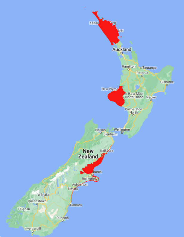
OpenTopography has recently added 3 new datasets over New Zealand that collectively cover over 28,000 km 2. The datasets cover the Canterbury region of the South Island, and the Taranaki and Northland regions of the North Island. These datasets are available through an ongoing collaboration between OpenTopography and LINZ that makes OpenTopography the primary distribution platform for point cloud data collected as part of the LINZ national elevation program.
Find the data here:
- Northland, New Zealand 2018 - 2020
- Canterbury, New Zealand 2020
- Taranaki, New Zealand 2021 (updated with new data)

Spatial coverage of the 3 new LINZ datasets in red.

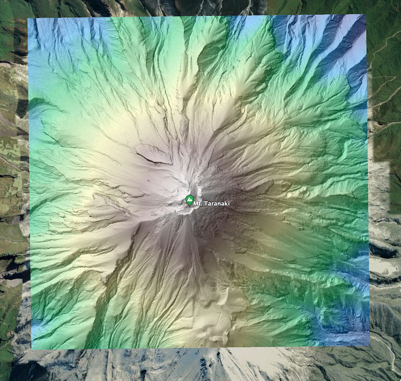
Hillshade of a digital terrain model (DTM) colored by elevation over Mount Taranaki (Taranaki, New Zealand 2021).

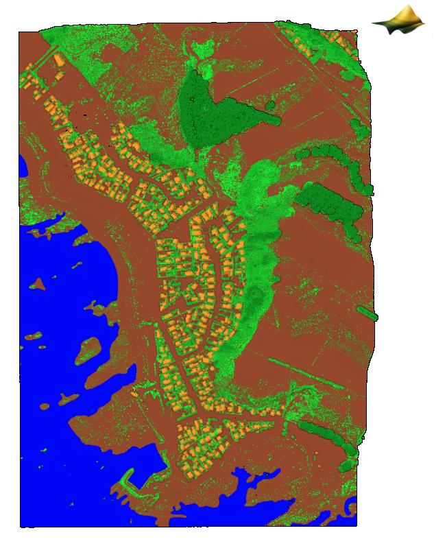
3D point cloud colored by classification over South Bay in the Kaikoura Peninsula where water is blue, ground is brown, and vegetation is green (Canterbury, New Zealand 2020 ).

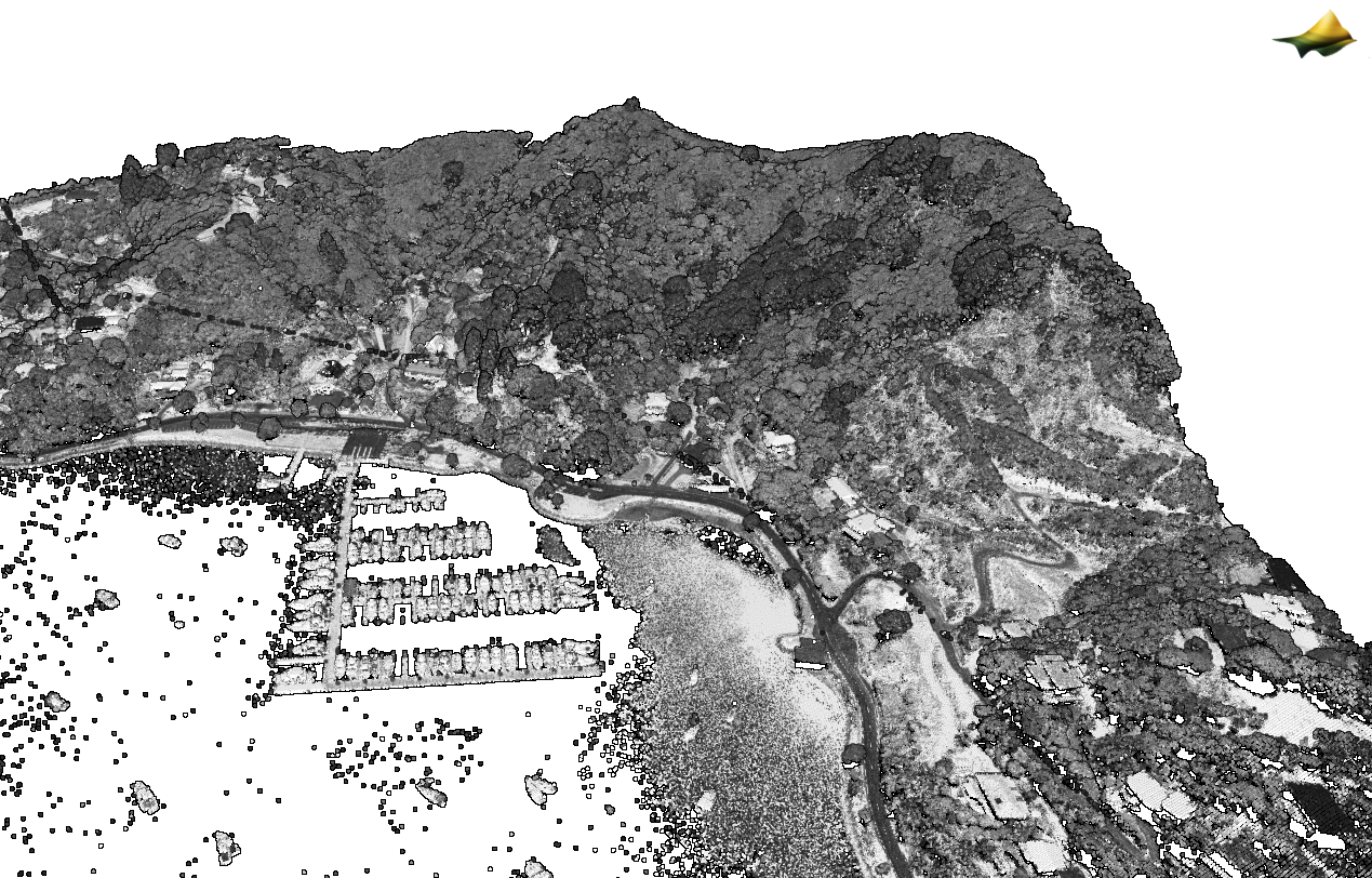
3D point cloud colored by intensity of a harbor in Whangaroa (Northland, New Zealand 2018-2020 ).
