OpenTopography collaboration with WIFIRE Lab expands community access to California lidar datasets
OpenTopography and the WIFIRE Lab at UC San Diego have started work on a new collaborative effort to streamline access to approximately 60 federally funded California high resolution lidar datasets in both point cloud and raster formats. These datasets were collected by agencies such as the US Forest Service and have not been previously accessible online. OpenTopography will provide service based access to these datasets within WIFIRE’s BurnPro3D platform for more accurate wildfire fuel models analysis. As an added benefit to the OpenTopography community, these datasets will also become available via the OpenTopography portal with its full suite of web based tools for data processing, analysis, and visualization.

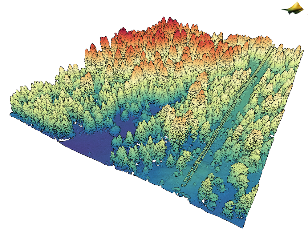
USFS Dinkey Creek Lidar, CA 2010 (https://doi.org/10.5069/G9CR5RJ3). 3D lidar point cloud colored by elevation. Note structure of individual trees visible in the dataset.
The WIFIRE Lab applies the power of data science and supercomputing to provide fire officials with real-time fire models to help strategize the best approach to containment. It grew out of a project funded by the National Science Foundation (NSF) under the Cyberinfrastructure, Information Technology Research, and SEES Hazards programs. WIFIRE has several research initiatives in wildfire science with multiple funding sources including NSF, SDG&E, CalOES, Intervalien Foundation, and various industry and fire agency partners. The BurnPro3D web-based platform, funded by NSF Convergence Accelerator program, is designed to give public sector partners next-generation fire science, data, and AI to optimize prescribed burns at the scale needed to reduce wildfire risk. It is a decision support tool for fire managers that provides 3D, high-resolution fire models to understand risks and tradeoffs quickly and accurately when planning and conducting prescribed burns. Service based access to these lidar point cloud datasets via OpenTopography will be vital to produce more accurate voxelized fuel representation within the BurnPro3D platform, thereby improving model accuracy. Once ingested into OpenTopography, these 60 datasets will be available in both raster and point cloud formats via the OpenTopography portal and will be more widely discoverable via federation of the OpenTopography data catalog through Data.gov and WIFIRE Data Commons. At this time, a dozen additional California datasets have been ingested into OpenTopography and can be found HERE. Additional datasets will be added to OpenTopography at a rate of approximately one per week over the coming months.

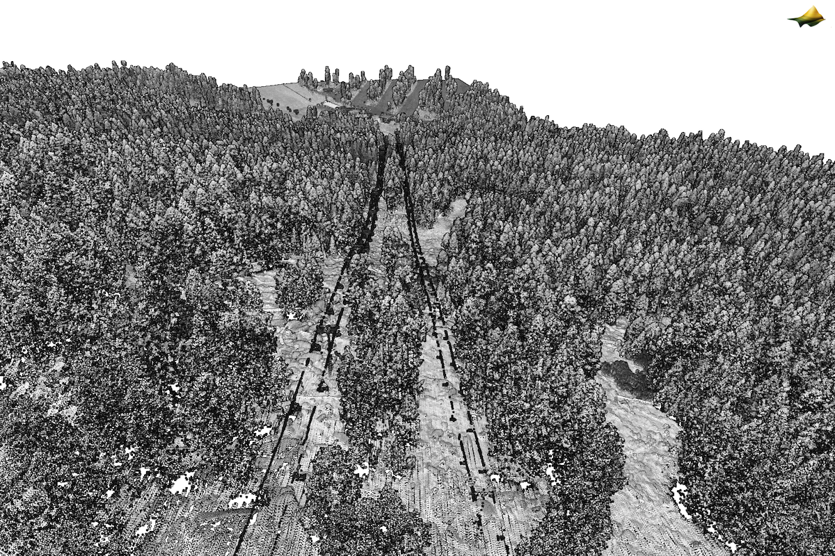
USFS Freds Fire Lidar, CA 2015, https://doi.org/10.5069/G94B2ZHP. Lidar point cloud colored by laser intensity, looking down the Grandview Express and Tahoe King chairlifts at the Sierra-at-Tahoe ski area.
