OpenTopography at the 2017 American Geophysical Union Meeting
Come connect with OpenTopography at the 2017 American Geophysical Union meeting in New Orleans! OpenTopography will be in booth #1730 on "NSF Street" in the exhibit hall. The booth is shared with the National Center for Airborne Laser Mapping (NCALM). Our booth is staffed by the OpenTopography team and community members, and is a great chance to ask questions, provide feedback, or to discuss lidar, high resolution topography, and cyberinfrastructure.
Stop by to see some exciting new features in OpenTopography:
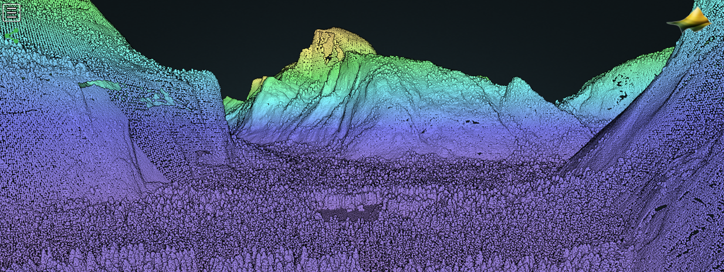
- View point cloud data in 3D directly in your browser! For any OpenTopography job you can now choose to visualize the resulting point cloud data directly in your browser. Example from Yosemite Valley, CA below:

- User generated data hosting. The OpenTopography Community Dataspace is coming soon. Stop by to see a demo of this new feature that will allow users to upload and archive point and raster data products produced from small aerial and terrestrial lidar and photogrammetry surveys.
- And more!
Exhibit hall hours are:
Monday, 11 December, 6:00 P.M.-8:00 P.M. (Ice Breaker Reception)
Tuesday-Thursday, 12-14 December, 9:30 A.M.–5:00 P.M.
Friday, 15 December, 9:30 A.M.–1:30 P.M.
We'll also be giving away the popular I heart lidar stickers so please stop by and say hi!

Please follow us on social media to get the latest on OpenTopography data, short courses, and activities:
Twitter: https://twitter.com/opentopography
Facebook: http:/www.facebook.com/opentopography
Instagram: https://www.instagram.com/opentopography
