New SRTM15+ Global Bathymetry and Topography Dataset Released
OpenTopography is pleased to announce the release of the SRTM15+ V2.1 global bathymetry and topography dataset. This dataset is the latest iteration of the SRTM+ digital elevation model (DEM) where the "plus" indicates the addition of ocean bathymetry from shipboard soundings and satellite-derived predicted depths. This DEM is a global elevation grid with a spatial sampling interval of 15 arc seconds (approximately 500 x 500 m pixel size at the equator). New data consists of >33.6 million multibeam and singlebeam measurements collated by several institutions.
For more information on this dataset, see its associated publication:
Tozer, B, Sandwell, D. T., Smith, W. H. F., Olson, C., Beale, J. R., & Wessel, P. (2019). Global bathymetry and topography at 15 arc sec: SRTM15+. Earth and Space Science, 6, 1847. https://doi.org/10.1029/2019EA000658
or visit the project website for more details.
Get the data:
- Via the OpenTopography Portal: Global Bathymetry and Topography at 15 Arc Sec: SRTM15+ V2.1
- Via the OpenTopography Global Datasets API

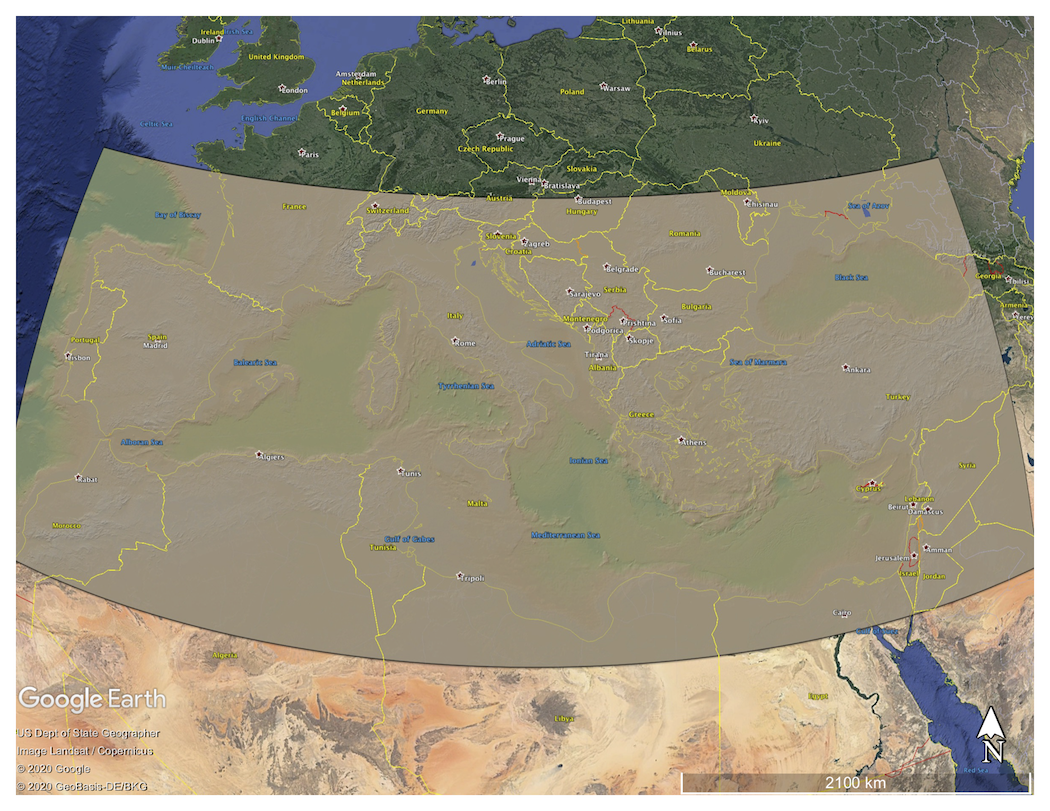
Colored Digital Elevation Model (DEM) of the Mediterranean Sea draped on Google Earth imagery

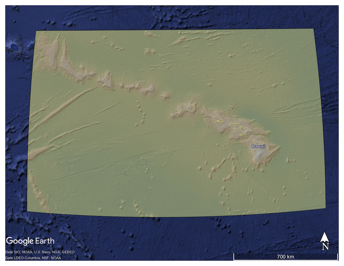
Colored Digital Elevation Model of the Hawaiian Archipelago and its bathymetry draped on Google Earth imagery
