New SfM photogrammetry dataset covering parts of the House Range Fault in Utah
OpenTopography is pleased to announce the release of a high-resolution topographic data set and orthomosaic that cover ~ 5 km of the House Range fault and shoreline features of late Pleistocene Lake Bonneville in the Sevier Desert, eastern Basin and Range, Utah, USA. The House Range fault (HRF) is a range-bounding, west-dipping normal fault in the western Sevier Desert, within the Basin and Range province. There is up to 1600 m of vertical relief across the fault, and it displays characteristics typical of tectonically – driven extensional faulting, in contrast to extension that is associated with volcanism in the eastern Sevier Desert (Stahl and Niemi, 2017; Stahl et al., in review).
Get the data: High Resolution Topography of House Range Fault, Utah
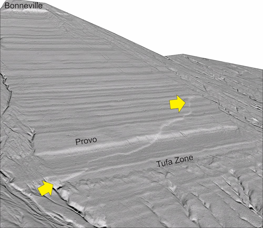
Yellow arrows indicate a section of the House Range Fault. Paleo Lake Bonneville shorelines can be seen between the areas labeled Provo and Bonneville.

