New SfM Dataset over Mount Rainier, Washington
OpenTopography has recently added a new structure from motion (SfM) dataset over Mount Rainier in Washington State. This dataset was collected by the National Park Service Mount Rainier (MORA) Geology Division in cooperation with the Alaska Region Office (AKRO) in September 2021. This dataset provides a unique, high-resolution survey of the geology, glaciology and overall topography of Mt Rainier and its surrounding areas. Both the digital surface model and component orthophotos are available through OpenTopography.
Find the data here:

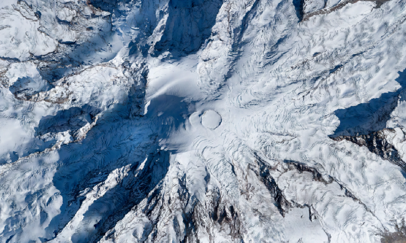
Orthomosaic over Mount Rainier. Photos are 25 cm resolution, thus providing detailed imagery of the mountain topography.

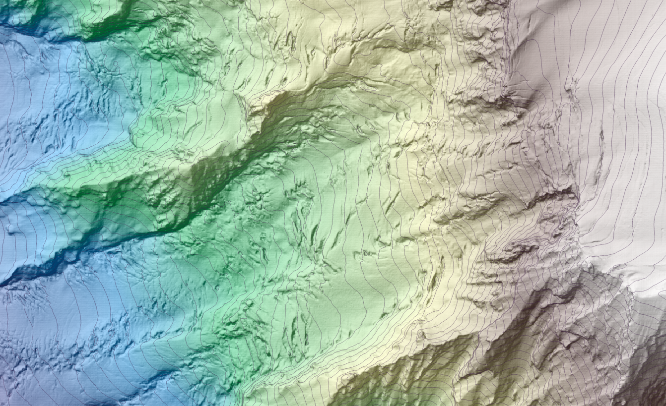
A digital surface model (DSM) of the Tahoma glacier on the western flank of Mt. Rainier. The data is colored by elevation and then draped on a hillshade. 25 meter contours are shown.
