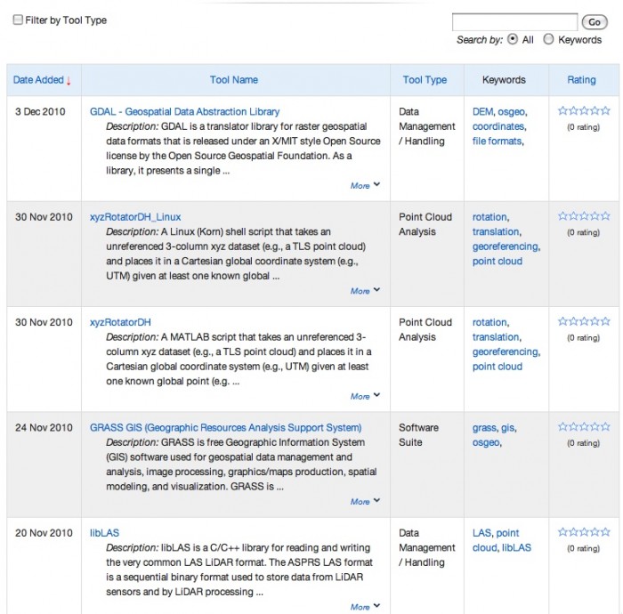
New OpenTopography Tool Registry - Contribute or Discover Software
OpenTopography is pleased to announce the release of our new Tool Registry. The OpenTopography Tool Registry provides a community populated clearinghouse of software, utilities, and tools oriented towards high-resolution topography data (e.g. collected with LiDAR technology) handling, processing, visualization, and analysis. The Tool Registry is designed to facilitate the high-resolution topography user community's ability to share and discover software relevant to their research. OpenTopography provides the registry as part of our mission to enable access to high-resolution, Earth science-oriented, topography data, and related tools and resources.
The Registry supports tools ranging from source code to full-featured software applications, and is designed to be a user-populated metadata catalog. Any registered OpenTopography user can contribute a resource to the registry. Upon submission, a contributed tool will be verified and approved by an OpenTopography team member before appearing in the registry. We encourage contributions of tools oriented towards high-resolution topographic (e.g. airborne and terrestrial LiDAR) and bathymetric data - both point clouds and raster data types. Although primarily motivated by and oriented towards tools being developed in the academic and/or open source communities, we also welcome registration of commercial software that could be of interest to OpenTopography users.
> Go to the OpenTopography Tool Registry
> Contribute a tool
OpenTopography Tool Registry Screen Capture:

